Taunton in Bristol County, Massachusetts — The American Northeast (New England)
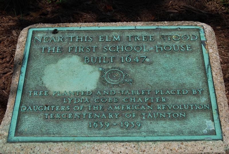
First School House
Tree Planted and tablet place by the Lydia Cobb Chapter of the Daughters of the American Revolution Tercentenary of Taunton 1639-1939
Erected 1939 by Daughters of the American Revolution.
Topics and series. This historical marker is listed in these topic lists: Colonial Era • Education. In addition, it is included in the Daughters of the American Revolution series list. A significant historical year for this entry is 1637.
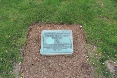
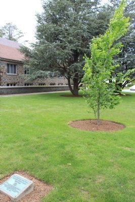
Location. 41° 54.09′ N, 71° 5.256′ W. Marker is in Taunton, Massachusetts, in Bristol County. Marker is on Church Green, in the median. The Elm tree planted in 1939 had to be cut down a new tree has replaced it though. Touch for map. Marker is in this post office area: Taunton MA 02780, United States of America. Touch for directions.
Other nearby markers. At least 8 other markers are within walking distance of this marker. In Memory of George Washington (here, next to this marker); Taunton Vietnam Veterans Memorial (a few steps from this marker); Desert Storm Desert Shield Memorial (a few steps from this marker); Memorial for Soldiers against Terrorism (a few steps from this marker); Taunton Colonial Militiamen Memorial (within shouting distance of this marker); Robert Treat Paine (about 400 feet away, measured in a direct line); Richard David DeWert (about 600 feet away); Taunton Soldiers and Sailors Monument (approx. 0.3 miles away). Touch for a list and map of all markers in Taunton.
Credits. This page was last revised on September 21, 2017. It was originally submitted on May 25, 2012, by Bryan Simmons of Attleboro, Massachusetts. This page has been viewed 640 times since then and 12 times this year. Photos: 1. submitted on September 9, 2017, by Marc Belanger of Reno, Nevada. 2, 3. submitted on May 25, 2012, by Bryan Simmons of Attleboro, Massachusetts. • Bill Pfingsten was the editor who published this page.


