Near Higgins in Lipscomb County, Texas — The American South (West South Central)
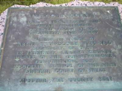
Lipscomb County
Photographed by Bill Kirchner, May 2, 2012
1. Lipscomb County Marker
Bexar Territories
Created, August 21, 1876
Organized June 6, 1887
Named in honor of
Abner S. Lipscomb, 1789-1856
Secretary of State
in President Lamar's cabinet
Member of the Constitutional
Convention, 1845
Associate justice of the first
Supreme Court of Texas
Lipscomb, the county seat
Erected 1936 by Texas Highway Department. (Marker Number 3082.)
Topics and series. This historical marker is listed in these topic lists: Government & Politics • Political Subdivisions. In addition, it is included in the Texas 1936 Centennial Markers and Monuments series list. A significant historical date for this entry is June 6, 1943.
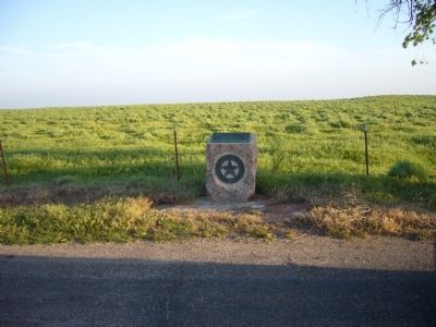
Location. 36° 7.761′ N, 100° 0.326′ W. Marker is near Higgins, Texas, in Lipscomb County. It is at the intersection of U.S. 60 and County Road Aa, on the right when traveling west on U.S. 60. Marker is 0.1 miles west of Oklahoma State line. Touch for map. Marker is in this post office area: Higgins TX 79046, United States of America. Touch for directions.

Regionally, this marker is on the Texas Panhandle. It is also on the American Great Plains and specifically on
this page online
Other nearby markers. At least 4 other markers are within 2 miles of this marker, measured as the crow flies: Higgins Cemetery (approx. 0.8 miles away); Quanah Parker Trail (approx. 1.7 miles away); Higgins (approx. 1.7 miles away); Will Rogers (approx. 1.7 miles away).
Photographed by Bill Kirchner, May 2, 2012
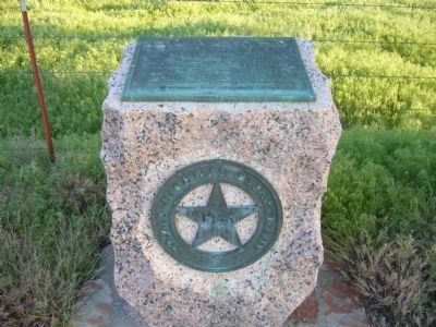
2. Lipscomb County Marker
Photographed by Bill Kirchner, May 2, 2012
3. Lipscomb County Marker
Credits. This page was last revised on December 1, 2024. It was originally submitted on May 28, 2012, by Bill Kirchner of Tucson, Arizona. This page has been viewed 647 times since then and 19 times this year. Photos: 1, 2, 3. submitted on May 28, 2012, by Bill Kirchner of Tucson, Arizona. • Bernard Fisher was the editor who published this page.
