
Forest in Bedford County, Virginia — The American South (Mid-Atlantic)
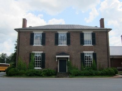
New London Academy
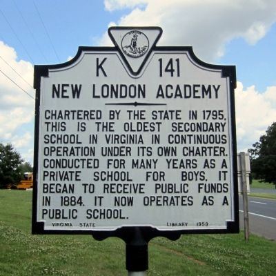
Photographed by Bernard Fisher, May 28, 2012
1. New London Academy Marker
Erected 1959 by Virginia State Library. (Marker Number K-141.)
Topics and series. This historical marker is listed in this topic list: Education. In addition, it is included in the Virginia Department of Historic Resources (DHR) series list. A significant historical year for this entry is 1795.
Location. 37° 18.366′ N, 79° 18.345′ W. Marker is in Forest, Virginia, in Bedford County. It is at the intersection of East Lynchburg Salem Turnpike (U.S. 460) and Thomas Jefferson Road (Virginia Route 811), on the right when traveling west on East Lynchburg Salem Turnpike. Located in front of New London Academy Elementary. Touch for map. Marker is at or near this postal address: 12400 East Lynchburg Salem Turnpike, Forest VA 24551, United States of America. Touch for directions.

Regionally, this marker is in Southwest Virginia. It is also in the American South and specifically
this page online
Other nearby markers. At least 8 other markers are within 4 miles of this marker, measured as the crow flies: A different marker also named New London Academy (within shouting distance of this marker); Callaway-Steptoe Cemetery (approx. 0.6 miles away); Bedford County / Campbell County (approx. 0.8 miles away); New London (approx. 1.4 miles away); Crafting a Masterpiece, Longing for Home (approx. 3.6 miles away); “I have this summer built a wing of offices...” (approx. 3.6 miles away); Mounds Made of Ideas and Sweat (approx. 3.7 miles away); Transforming a Plantation into a Private Retreat, 1806—1826 (approx. 3.7 miles away). Touch for a list and map of all markers in Forest.
Other markers no longer nearby. What happened to Poplar Forest after Jefferson's death? (was approx. 3.6 miles away but has been replaced
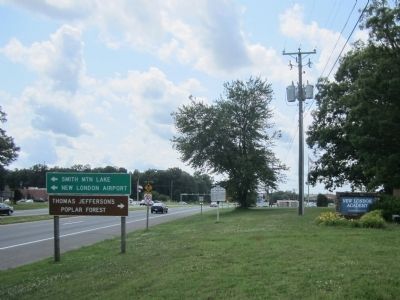
Photographed by Bernard Fisher, May 28, 2012
2. US Rt 460 (facing west)
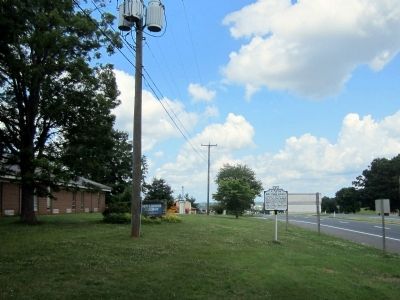
Photographed by Bernard Fisher, May 28, 2012
3. US Rt 460 (facing east)
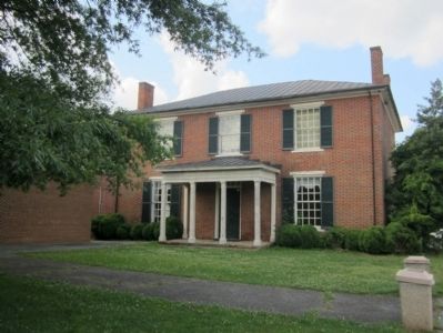
Photographed by Bernard Fisher
4. New London Academy (front)
Photographed by Bernard Fisher
5. New London Academy (rear)
Credits. This page was last revised on June 16, 2016. It was originally submitted on May 29, 2012, by Bernard Fisher of Richmond, Virginia. This page has been viewed 1,083 times since then and 38 times this year. Photos: 1, 2, 3, 4, 5. submitted on May 29, 2012, by Bernard Fisher of Richmond, Virginia.
