Bainbridge in Decatur County, Georgia — The American South (South Atlantic)
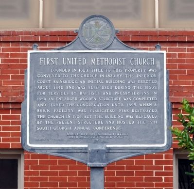
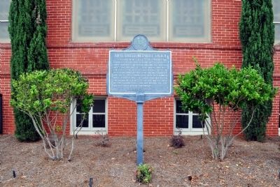
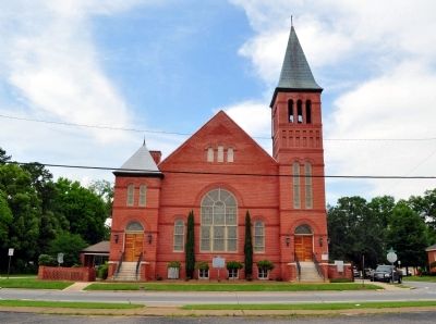
First United Methodist Church
Erected 1980 by Historic Chattahoochee Commission and the Decatur County Historical Society.
Topics. This historical marker is listed in this topic list: Churches & Religion. A significant historical year for this entry is 1823.
Location. 30° 54.247′ N, 84° 34.704′ W. Marker is in Bainbridge, Georgia, in Decatur County. Marker is at the intersection of West Shotwell Street (Business U.S. 84) and South Florida Street, on the right when traveling west on West Shotwell Street. Touch for map. Marker is at or near this postal address: 300 West Shotwell Street, Bainbridge GA 39819, United States of America. Touch for directions.
Other nearby markers. At least 8 other markers are within walking distance of this marker. First Presbyterian Church (about 700 feet away, measured in a direct line); Camp Recovery (approx. 0.2 miles away); In Memory of Revolutionary Soldiers (approx. 0.2 miles away); The Bainbridge Volunteers (approx. 0.2 miles away); Decatur County (approx. 0.2 miles away); El Camino Real (approx. 0.2 miles away); De Soto Trail (approx. 0.2 miles away); The J.D. Chason Memorial Park / The J.D. Chason Memorial Park History (approx. ¼ mile away). Touch for a list and map of all markers in Bainbridge.
Credits. This page was last revised on June 16, 2016. It was originally submitted on May 29, 2012, by David Seibert of Sandy Springs, Georgia. This page has been viewed 543 times since then and 20 times this year. Photos: 1, 2, 3. submitted on May 29, 2012, by David Seibert of Sandy Springs, Georgia. • Craig Swain was the editor who published this page.


