Lincolnville in Waldo County, Maine — The American Northeast (New England)
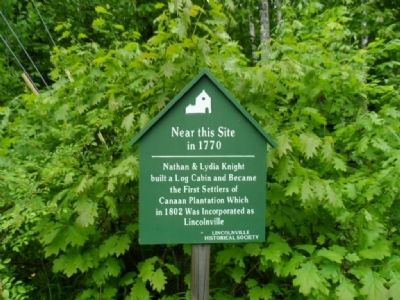
Near this Site in 1770
Erected by Lincolnville Historical Society.
Topics. This historical marker is listed in this topic list: Settlements & Settlers. A significant historical year for this entry is 1802.
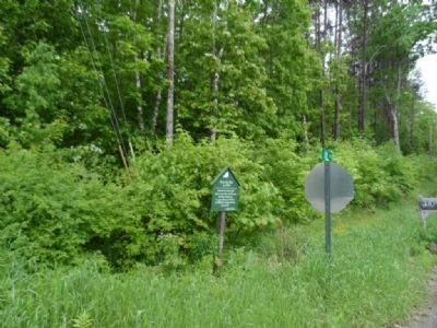
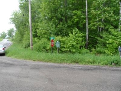
Location. 44° 18.274′ N, 69° 6.243′ W. Marker is in Lincolnville, Maine, in Waldo County. Marker is at the intersection of Belfast Road (Maine Route 52) and Joy Road, on the right when traveling south on Belfast Road. Touch for map. Marker is in this post office area: Lincolnville ME 04849, United States of America. Touch for directions.
Other nearby markers. At least 8 other markers are within 7 miles of this marker, measured as the crow flies. Lincolnville Center (approx. half a mile away); Lincolnville's Town House (approx. 0.9 miles away); The Boys of Hope (approx. 3.8 miles away); Lincolnville War of 1812 Cannon (approx. 5 miles away); French's Beach (approx. 5 miles away); Mount Battie Memorial Tower (approx. 5.9 miles away); Edna St. Vincent Millay (approx. 5.9 miles away); Spanish-American War Memorial (approx. 6.8 miles away). Touch for a list and map of all markers in Lincolnville.
Credits. This page was last revised on June 16, 2016. It was originally submitted on May 30, 2012, by James True of Newark, New Jersey. This page has been viewed 578 times since then and 14 times this year. Photos: 1, 2, 3. submitted on May 30, 2012, by James True of Newark, New Jersey. • Bill Pfingsten was the editor who published this page.


