Foxborough in Norfolk County, Massachusetts — The American Northeast (New England)
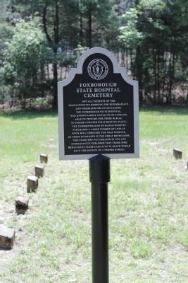
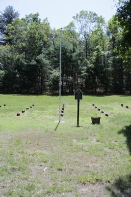
Foxborough State Hospital Cemetery
Topics. This historical marker is listed in this topic list: Cemeteries & Burial Sites. A significant historical year for this entry is 1933.
Location. 42° 4.848′ N, 71° 15.83′ W. Marker is in Foxborough, Massachusetts, in Norfolk County. Marker is on Cross Street, on the right when traveling east. Touch for map. Marker is in this post office area: Foxboro MA 02035, United States of America. Touch for directions.
Other nearby markers. At least 8 other markers are within 2 miles of this marker, measured as the crow flies. Morseville (approx. half a mile away); Lakeview (approx. 0.8 miles away); Entering Baker Street Historic District (approx. 1.2 miles away); The Town Lot (approx. 1.4 miles away); Memorial Hall (approx. 1.4 miles away); Centre Burial Ground (approx. 1.4 miles away); The Reservoir on Powder House Hill / The Town House (approx. 1.4 miles away); Union Straw Works / Birth of the Straw Hat Industry (approx. 1˝ miles away). Touch for a list and map of all markers in Foxborough.
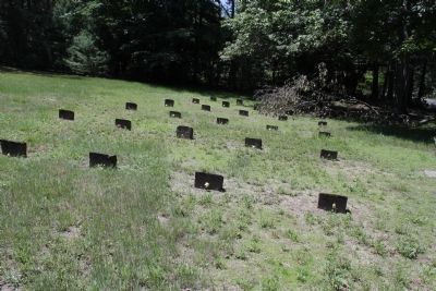
Regarding Foxborough State Hospital Cemetery. On each stone are two numbers the top of the stones have the patients number the front has the number in which they died in for the cemetery.
Credits. This page was last revised on June 16, 2016. It was originally submitted on May 31, 2012, by Bryan Simmons of Attleboro, Massachusetts. This page has been viewed 731 times since then and 22 times this year. Photos: 1, 2, 3. submitted on May 31, 2012, by Bryan Simmons of Attleboro, Massachusetts. • Bill Pfingsten was the editor who published this page.


