Rehoboth in Bristol County, Massachusetts — The American Northeast (New England)
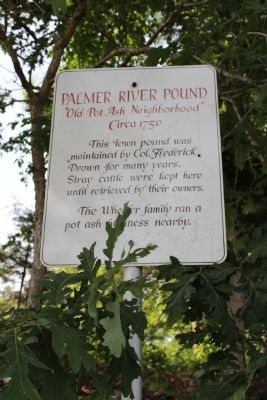
Palmer River Pound
"Old Pot Ash Neighborhood"
— Circa 1750 —
The Wheeler family ran a pot ash business nearby.
Erected by Rehoboth Historical Commission.
Topics. This historical marker is listed in these topic lists: Colonial Era • Settlements & Settlers.
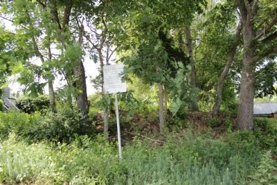
Location. 41° 48.539′ N, 71° 15.521′ W. Marker is in Rehoboth, Massachusetts, in Bristol County. Marker is on Brook Street east of School Street, on the right when traveling west. Touch for map. Marker is at or near this postal address: 188 Brook Street, Rehoboth MA 02769, United States of America. Touch for directions.
Other nearby markers. At least 8 other markers are within 2 miles of this marker, measured as the crow flies. Liberty Tree (approx. ¼ mile away); Horton Signal (approx. 0.6 miles away); Site of Original Oak Swamp Church (approx. 0.8 miles away); Orleans Manufacturing Co. (approx. one mile away); Samual Baker Grist & Sawmill Site (approx. one mile away); The Palmer's River Meeting House (approx. 1.1 miles away); Daniel Bullock- Samuel Baker Sawmill site 1750-1850 (approx. 1½ miles away); Sabin Sawmill (approx. 1.8 miles away). Touch for a list and map of all markers in Rehoboth.
Credits. This page was last revised on June 16, 2016. It was originally submitted on June 2, 2012, by Bryan Simmons of Attleboro, Massachusetts. This page has been viewed 925 times since then and 18 times this year. Photos: 1, 2. submitted on June 2, 2012, by Bryan Simmons of Attleboro, Massachusetts. • Syd Whittle was the editor who published this page.

