Near Panhandle in Carson County, Texas — The American South (West South Central)
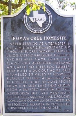
Thomas Cree Homesite
First Tree
Photographed by Bill Kirchner, May 2, 2012
1. Thomas Cree Homesite Marker
Erected 1980 by State Historical Survey Committee. (Marker Number 5467.)
Topics and series. This historical marker is listed in these topic lists: Agriculture • Settlements & Settlers. In addition, it is included in the Historic Trees series list. A significant historical date for this entry is June 14, 2011.
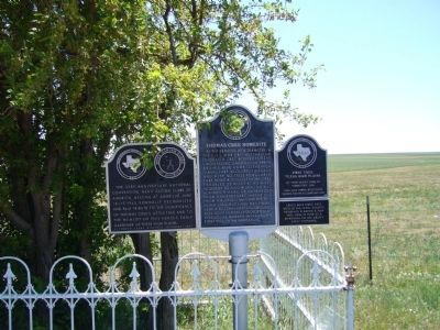
Location. 35° 18.638′ N, 101° 27.687′ W. Marker is near Panhandle, Texas, in Carson County. It is on U.S. 60 4.9 miles west of Texas Highway 207, on the left when traveling west. Marker is in the center, on a post with two other markers. Touch for map. Marker is in this post office area: Panhandle TX 79068, United States of America. Touch for directions.

Regionally, this marker is on the Texas Panhandle. It is also on the American Great Plains and specifically on the Southern Plains. Globally, it is in North America, a Gulf of Mexico state, the Western Hemisphere, the Western World, and the Anglosphere. Historically, it finds itself in what was once New Spain, the Comanchería, the Dust Bowl, the Republic of Texas, and one of the Confederate States of America.
Other nearby markers. At least 8 other markers are within 6 miles of this marker, measured as the crow flies: 33rd Anniversary National Convention (here, next to this
this page online
Photographed by Bill Kirchner, May 2, 2012
2. Thomas Cree Homesite Marker is in the center
Photographed by Bill Kirchner, May 2, 2012
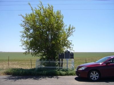
3. Thomas Cree Homesite Marker
Credits. This page was last revised on November 29, 2024. It was originally submitted on June 3, 2012, by Bill Kirchner of Tucson, Arizona. This page has been viewed 1,907 times since then and 81 times this year. Photos: 1, 2, 3. submitted on June 3, 2012, by Bill Kirchner of Tucson, Arizona. • Craig Swain was the editor who published this page.
