Sumter in Sumter County, South Carolina — The American South (South Atlantic)
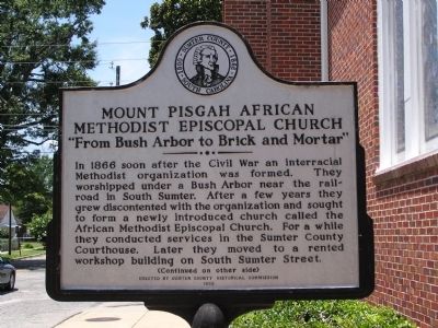
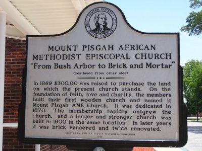
Mount Pisgah African Methodist Episcopal Church
"From Bush Arbor to Brick and Mortar"
Inscription.
(Front):
In 1866 soon after the Civil War an interracial Methodist organization was formed. They worshiped under a Bush Arbor near the railroad in South Sumter. After a few years they grew discontented with the organization and sought to form a newly introduced church called the African Methodist Episcopal Church. For a while they conducted services in the Sumter County Courthouse. Later they moved to a rented workshop building on South Sumter Street.
(Reverse):
In 1869 $300.00 was raised to purchase the land on which the present church stands. On the foundation of faith, love and charity, the members built their first wooden church and named it Mount Pisgah AME Church. It was dedicated in 1870. The membership rapidly outgrew the church, and a larger and stronger church was built in 1900 in the same location. In later years it was brick veneered and twice renovated.
Erected 1993 by Sumter County Historical Commission.
Topics and series. This historical marker is listed in these topic lists: African Americans • Churches & Religion. In addition, it is included in the African Methodist Episcopal (AME) Church series list. A significant historical year for this entry is 1866.
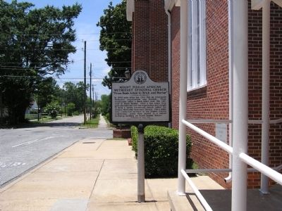
Location. 33° 55.05′ N, 80° 20.803′ W. Marker is in Sumter, South Carolina, in Sumter County. Marker is at the intersection of Council Street and West Bartlette Street, on the right when traveling north on Council Street. Touch for map. Marker is in this post office area: Sumter SC 29150, United States of America. Touch for directions.
Other nearby markers. At least 8 other markers are within walking distance of this marker. Lincoln High School (about 400 feet away, measured in a direct line); Trinity United Methodist Church (approx. 0.2 miles away); First Baptist Church (approx. ¼ mile away); Holocaust (approx. ¼ mile away); Y.M.C.A. (approx. 0.3 miles away); Sumterville Academy (approx. 0.3 miles away); Sumter District Confederate Dead (approx. 0.3 miles away); Temple Sinai (approx. 0.3 miles away). Touch for a list and map of all markers in Sumter.
Credits. This page was last revised on June 16, 2016. It was originally submitted on June 3, 2012, by Anna Inbody of Columbia, South Carolina. This page has been viewed 956 times since then and 36 times this year. Photos: 1, 2, 3. submitted on June 3, 2012, by Anna Inbody of Columbia, South Carolina. • Craig Swain was the editor who published this page.


