Canyon in Randall County, Texas — The American South (West South Central)
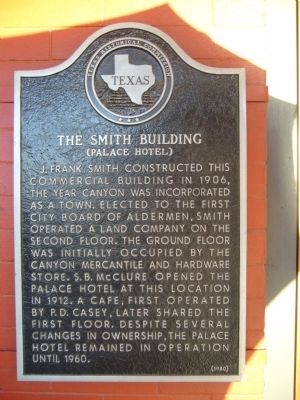
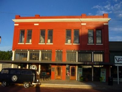
The Smith Building
(Palace Hotel)
Erected 1980 by Texas Historical Commission. (Marker Number 4954.)
Topics. This historical marker is listed in this topic list: Notable Buildings. A significant historical year for this entry is 1906.
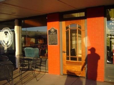
Location. 34° 58.74′ N, 101° 55.735′ W. Marker is in Canyon, Texas, in Randall County. Marker is at the intersection of 15th Street and 5th Avenue, on the right when traveling south on 15th Street. Touch for map. Marker is at or near this postal address: 420 15th Street, Canyon TX 79015, United States of America. Touch for directions.
Other nearby markers. At least 8 other markers are within walking distance of this marker. "The Canyon News" (within shouting distance of this marker); Clyde & Grace Warwick (within shouting distance of this marker); Randall County World War I Memorial (within shouting distance of this marker); First National Bank Building (about 300 feet away, measured in a direct line); Randall County Courthouse (about 300 feet away); Randall County (about 300 feet away); Presbyterian Church Building (about 400 feet away); The Sad Monkey Railroad (about 500 feet away). Touch for a list and map of all markers in Canyon.
Credits. This page was last revised on June 16, 2016. It was originally submitted on June 4, 2012, by Bill Kirchner of Tucson, Arizona. This page has been viewed 569 times since then and 50 times this year. Photos: 1, 2, 3. submitted on June 4, 2012, by Bill Kirchner of Tucson, Arizona. • Bernard Fisher was the editor who published this page.


