Hull in Plymouth County, Massachusetts — The American Northeast (New England)
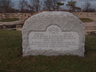
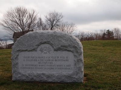
Fort Independence
Erected 1976.
Topics. This historical marker is listed in these topic lists: Forts and Castles • War, US Revolutionary. A significant historical date for this entry is July 14, 1974.
Location. 42° 18.269′ N, 70° 54.205′ W. Marker is in Hull, Massachusetts, in Plymouth County. Marker can be reached from Fort Revere Park. Touch for map. Marker is in this post office area: Hull MA 02045, United States of America. Touch for directions.
Other nearby markers. At least 8 other markers are within walking distance of this marker. Bernice James DePasquali (approx. 0.2 miles away); Strangers Corner (approx. 0.2 miles away); Gold Star Mothers Monument (approx. 0.2 miles away); Hull (approx. ¼ mile away); John Boyle O'Reilly (approx. ¼ mile away); British Marine Burial Site (approx. ¼ mile away); Lt. William Haswell House (approx. ¼ mile away); John Boyle O'Reilly House (approx. ¼ mile away). Touch for a list and map of all markers in Hull.
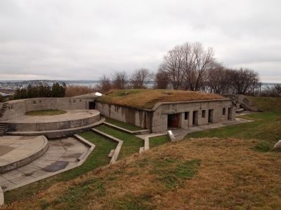
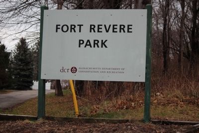
Regarding Fort Independence. Fort Revere was formerly Fort Independence until the name went to a new fort on nearby Castle Island.
Credits. This page was last revised on June 16, 2016. It was originally submitted on June 6, 2012, by Bryan Simmons of Attleboro, Massachusetts. This page has been viewed 659 times since then and 15 times this year. Photos: 1, 2, 3, 4, 5. submitted on June 6, 2012, by Bryan Simmons of Attleboro, Massachusetts. • Bill Pfingsten was the editor who published this page.
