Near Hagerman in Chaves County, New Mexico — The American Mountains (Southwest)
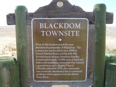
Blackdom Townsite
Erected by New Mexico Historic Preservation Division.
Topics. This historical marker is listed in these topic lists: African Americans • Agriculture • Settlements & Settlers. A significant historical year for this entry is 1908.
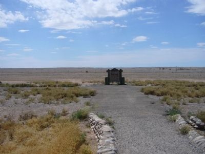
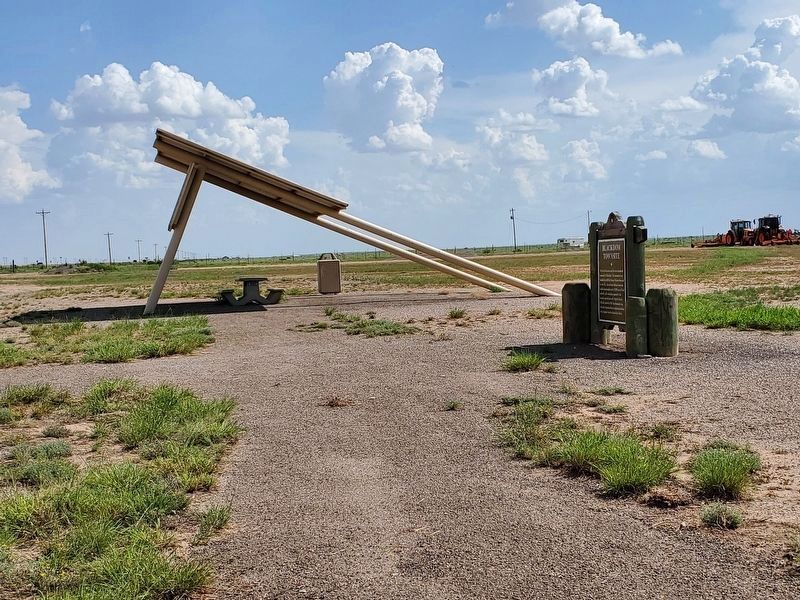
Location. 33° 5.808′ N, 104° 26.557′ W. Marker is near Hagerman, New Mexico, in Chaves County. Marker is on U.S. 285 at milepost 88, on the right when traveling south. Touch for map. Marker is in this post office area: Hagerman NM 88232, United States of America. Touch for directions.
Other nearby markers. At least 4 other markers are within 15 miles of this marker, measured as the crow flies. Rio Felix Bridge (approx. 6.6 miles away); Civilian Conservation Corps (approx. 7.8 miles away); Roswell Prisoner of War Camp (approx. 10.8 miles away); Artesia (approx. 14.2 miles away).
Also see . . . Blackdom - "Colores". This youtube video tells the story of Blackdom. (Submitted on June 10, 2012.)

Photographed By Bill Kirchner, May 3, 2012
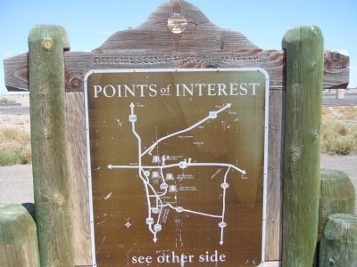
2. Back of Blackdom Townsite Marker
Points of Interest
New Mexico's Historic Markers typically have a map on the back side showing the location of other OSHM's. This is an excellent source of information when exploring for other Historical Markers and locations.
New Mexico's Historic Markers typically have a map on the back side showing the location of other OSHM's. This is an excellent source of information when exploring for other Historical Markers and locations.
Credits. This page was last revised on July 21, 2021. It was originally submitted on June 8, 2012, by Bill Kirchner of Tucson, Arizona. This page has been viewed 1,828 times since then and 101 times this year. Photos: 1, 2, 3. submitted on June 8, 2012, by Bill Kirchner of Tucson, Arizona. 4. submitted on July 21, 2021, by Jennifer W. of Las Cruces, New Mexico. • Syd Whittle was the editor who published this page.


