College Hill in Providence in Providence County, Rhode Island — The American Northeast (New England)
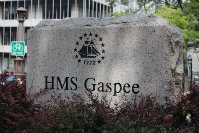
HMS Gaspee
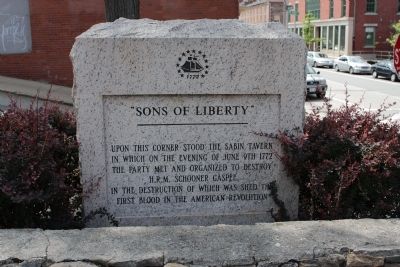
“Sons of Liberty”
Topics. This historical marker is listed in these topic lists: Patriots & Patriotism • War, US Revolutionary • Waterways & Vessels. A significant historical date for this entry is June 9, 1772.
Location. 41° 49.398′ N, 71° 24.345′ W. Marker is in Providence, Rhode Island, in Providence County. It is in College Hill. Marker is at the intersection of South Main Street and Planet Street, on the right when traveling north on South Main Street. Touch for map. Marker is at or near this postal address: 198 S Main St, Providence RI 02903, United States of America. Touch for directions.
Other nearby markers. At least 8 other markers are within walking distance of this marker. Sons of Liberty (here, next to this marker); Revolutions: American and Industrial (about 300 feet away, measured in a direct line); Crawford Street Bridge Without Crawford Street (about 300 feet away); The Changing Face of the West Bank / The West Bank (about 500 feet away); Rise of the Gangways (1704-1844) / Fall of the Gangways (1844-1983) (about 500 feet away); Providence (about 500 feet away); The Crawford Street Bridge (about 600 feet away); Easter Rising (about 600 feet away). Touch for a list and map of all markers in Providence.
Also see . . . Gaspee Affair (Wikipedia). Excerpt:
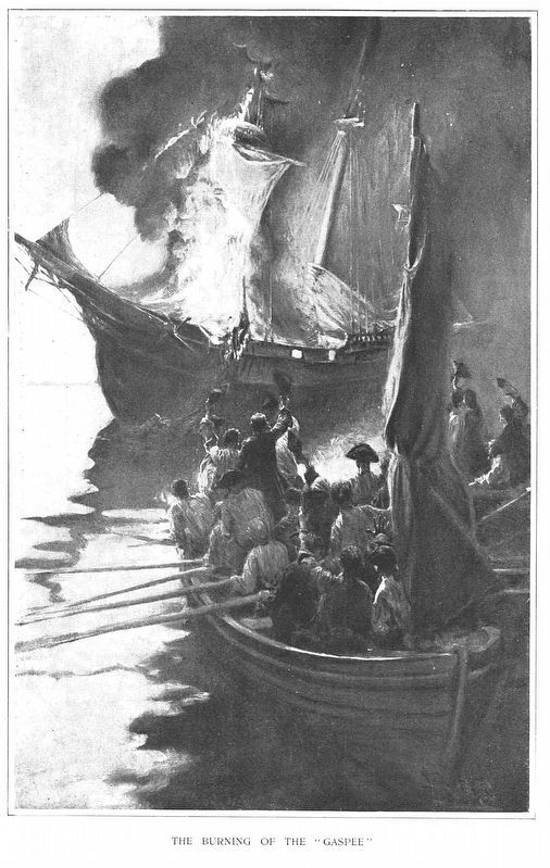
The HMS Gaspee was a British customs schooner that enforced the Navigation Acts in and around Newport, Rhode Island in 1772. It ran aground in shallow water while chasing the packet ship Hannah on June 9 near Gaspee Point in Warwick, Rhode Island. A group of men led by Abraham Whipple and John Brown attacked, boarded, and torched the ship.(Submitted on June 12, 2012, by Bryan Simmons of Attleboro, Massachusetts.)
Credits. This page was last revised on February 8, 2023. It was originally submitted on June 12, 2012, by Bryan Simmons of Attleboro, Massachusetts. This page has been viewed 1,138 times since then and 52 times this year. It was the Marker of the Week June 5, 2022. Photos: 1, 2. submitted on June 12, 2012, by Bryan Simmons of Attleboro, Massachusetts. 3. submitted on May 28, 2022, by J. J. Prats of Powell, Ohio. • Bill Pfingsten was the editor who published this page.


