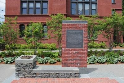
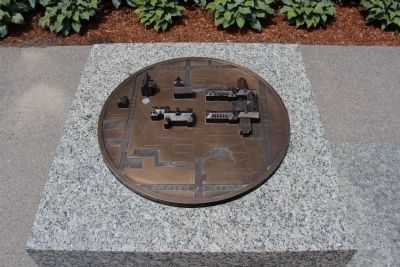
Pembroke College Tribute
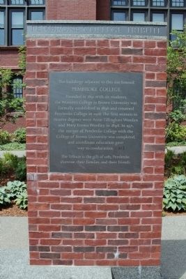
The building adjacent to this site housed
Pembroke College
Founded in 1891 with six students, the Woman's College in Brown University formally established in 1896 and renamed Pembroke College in 1928. The first women to receive degrees were Anne Tillinghast Weeden and Mary Emma Woolley in 1894. In 1971 the merger of Pembroke College with the college of Brown University was completed, and coordinate education gave way to coeducation
The Tribute is a gift of 1085 Pembroke alumnae, Their families, and their friends.
Erected by Pembroke alumnae, Their families, and their friends.
Topics. This historical marker is listed in this topic list: Education. A significant historical year for this entry is 1891.
Location. 41° 49.753′ N, 71° 24.152′ W. Marker is in Providence, Rhode Island, in Providence County. It is in College Hill. Marker is on Meeting Street just east of Brown Street, on the right when traveling west. Touch for map. Marker is in this post office area: Providence RI 02906, United States of America. Touch for directions.
Other nearby markers. At least 8 other markers are within walking distance of this marker. Bethel A.M.E. Church (within shouting distance of this marker); The Brown Bear (approx. 0.2 miles away); Hope College (approx. 0.2 miles away); Brown University Slave Trade Memorial (approx. 0.2 miles
Also see . . . Pembroke College (Wikipedia). (Submitted on June 12, 2012, by Bryan Simmons of Attleboro, Massachusetts.)
Credits. This page was last revised on February 8, 2023. It was originally submitted on June 12, 2012, by Bryan Simmons of Attleboro, Massachusetts. This page has been viewed 532 times since then and 21 times this year. Photos: 1, 2, 3. submitted on June 12, 2012, by Bryan Simmons of Attleboro, Massachusetts. • Bill Pfingsten was the editor who published this page.


