Poughkeepsie in Dutchess County, New York — The American Northeast (Mid-Atlantic)
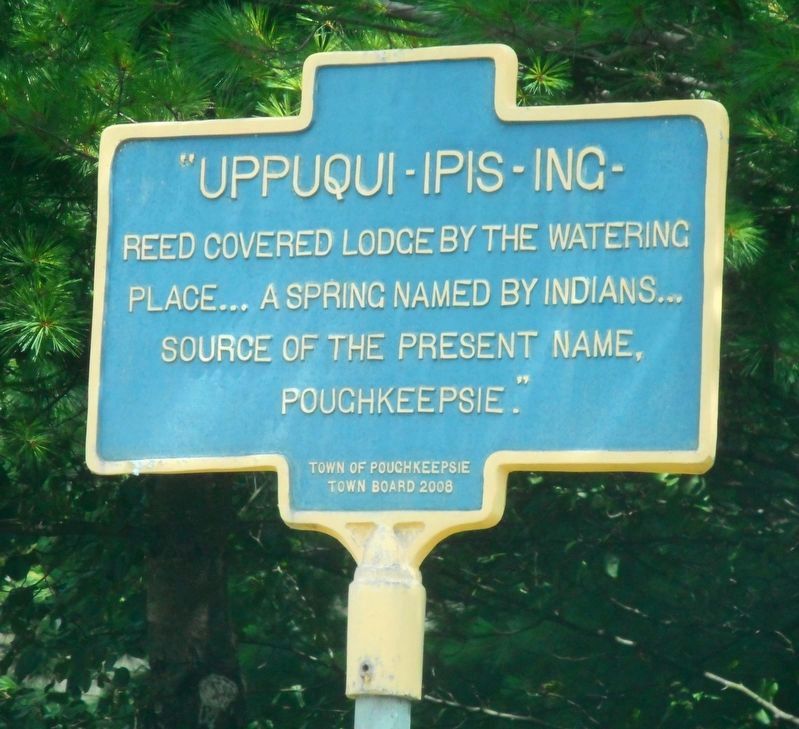
Uppuqui-ipis-ing
Erected by Town of Poughkeepsie Town Board.
Topics. This historical marker is listed in these topic lists: Native Americans • Settlements & Settlers.
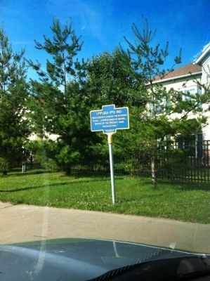
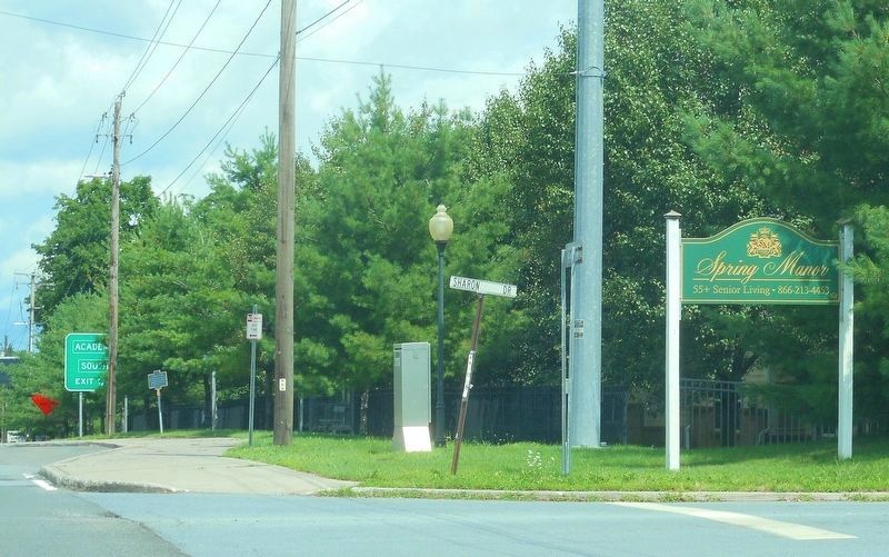
Location. 41° 40.69′ N, 73° 55.73′ W. Marker is in Poughkeepsie, New York, in Dutchess County. Marker is on South Road (Route 9) (U.S. 9) just north of Sharon Drive, on the right when traveling north. Touch for map. Marker is at or near this postal address: 2760 South Road, Poughkeepsie NY 12601, United States of America. Touch for directions.
Other nearby markers. At least 8 other markers are within walking distance of this marker. Civil War Memorial (approx. ¼ mile away); Brev't. Maj. Louis McLane Hamilton (approx. 0.4 miles away); Anandabai Joshee M.D. (approx. 0.4 miles away); Spanish-American War Memorial (approx. 0.4 miles away); Poughkeepsie Volunteer Fire Department World War I Memorial (approx. 0.4 miles away); Samuel Neilson (approx. half a mile away); Elijah Hedding D.D. (approx. half a mile away); Trolley Waiting Shelter (approx. half a mile away). Touch for a list and map of all markers in Poughkeepsie.
Credits. This page was last revised on September 14, 2018. It was originally submitted on June 18, 2012. This page has been viewed 1,010 times since then and 30 times this year. Photos: 1. submitted on July 27, 2018, by Clifton Patrick of Chester, NY, United States. 2. submitted on June 18, 2012. 3. submitted on July 27, 2018, by Clifton Patrick of Chester, NY, United States. • Bill Pfingsten was the editor who published this page.


