Near Junction in Kimble County, Texas — The American South (West South Central)
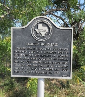
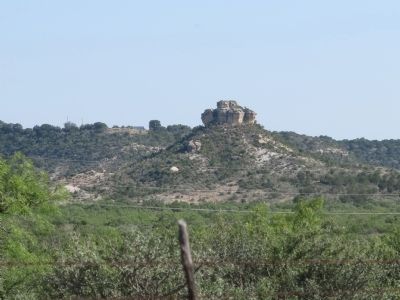
Teacup Mountain
Erected 1967 by State Historical Survey Committee. (Marker Number 5213.)
Topics. This historical marker is listed in this topic list: Natural Features. A significant historical year for this entry is 1872.
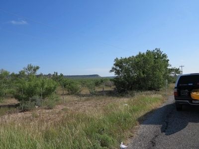
Location. 30° 32.596′ N, 99° 40.859′ W. Marker is near Junction, Texas, in Kimble County. Marker is on U.S. 377, half a mile north of Sullivan Road, on the left when traveling north. Touch for map. Marker is in this post office area: Junction TX 76849, United States of America. Touch for directions.
Other nearby markers. At least 8 other markers are within 6 miles of this marker, measured as the crow flies. Cloud Point (approx. 3.6 miles away); Miller-Browning Colony (approx. 3.6 miles away); The Oliver Pecan (approx. 4˝ miles away); Little Mexico (approx. 5.2 miles away); First Court in Kimble County (approx. 5.7 miles away); The Killing of Sam Speer (approx. 5.7 miles away); Old Beef Trail Crossing (approx. 5.8 miles away); Schreiner Park (approx. 6 miles away). Touch for a list and map of all markers in Junction.
Regarding Teacup Mountain. The lat/long for Teacup Mtn: 30.557494,-99.682689
Additional commentary.
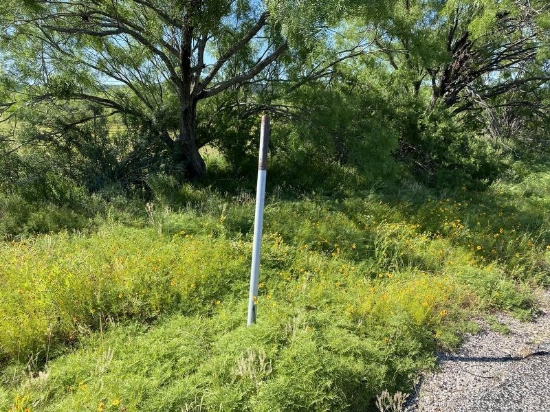
1. Marker is back
It appears as of June 2023 the marker is back at it's original spot. Looks new.
— Submitted September 21, 2023, by Paul Tong of Frisco, Texas.
Credits. This page was last revised on September 24, 2023. It was originally submitted on June 21, 2012, by Richard Denney of Austin, Texas. This page has been viewed 1,686 times since then and 181 times this year. Photos: 1, 2. submitted on June 21, 2012, by Richard Denney of Austin, Texas. 3. submitted on May 23, 2020, by Brian Anderson of Humble, Texas. 4. submitted on June 21, 2012, by Richard Denney of Austin, Texas. • Bernard Fisher was the editor who published this page.
Editor’s want-list for this marker. New closeup photo of the replacement marker • Can you help?


