Near East Palatka in Putnam County, Florida — The American South (South Atlantic)
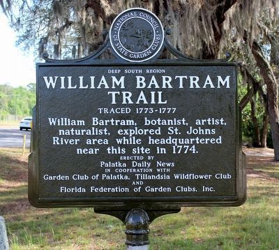
William Bartram Trail
Deep South Region
— Traced 1773 - 1777 —
Erected by Palatka Daily News in cooperation with Garden Club of Palatka, Tillandsia Wildflower Club and Florida Federation of Garden Clubs, Inc.
Erected by Palatka Daily News, Garden Club of Palatka, Tillandsia Wildflower Club, Florida Federation of Garden Clubs.
Topics and series. This historical marker is listed in this topic list: Exploration. In addition, it is included in the William Bartram Trails series list. A significant historical year for this entry is 1774.
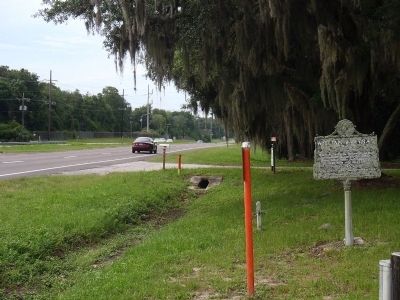
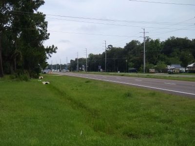
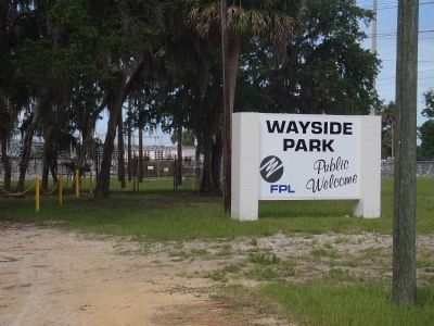
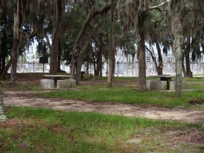
Location. 29° 37.829′ N, 81° 35.288′ W. Marker is near East Palatka, Florida, in Putnam County. Marker is on U.S. 17, on the right when traveling south. This marker is in front of a wayside park on the property of a FPL (Florida Power & Light) substation. Another historic marker--Rollestown--is within the wayside park, about 100 yards to the west. Touch for map. Marker is in this post office area: East Palatka FL 32131, United States of America. Touch for directions.
Other nearby markers. At least 8 other markers are within 3 miles of this marker, measured as the crow flies. Rollestown (within shouting distance of this marker); Explore the St. Johns River (approx. 2.6 miles away); The Spirit of the American Doughboy (approx. 2.6 miles away); Bartram Trail in Putnam County (approx. 2.6 miles away); Veterans Memorial Plaza (approx. 2.7 miles away); Still on Patrol (approx. 2.7 miles away); Basil C. Pearce Jr. USS Tang Memorial (approx. 2.7 miles away); Putnam County High School Band WWII Memorial (approx. 2.7 miles away).
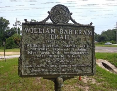
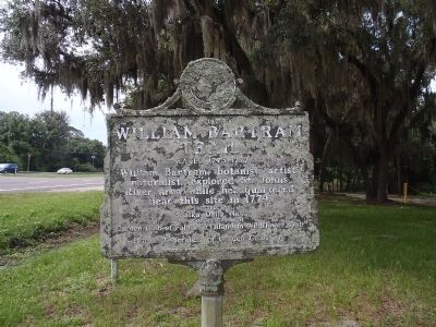
More about this marker. Upon first glance, the marker appears to have lost a lot of paint. However, closer inspection revealed the blemishes to be lichens. Perhaps somewhat appropriate for a William Bartram marker. Definitely needs a good cleaning.
Credits. This page was last revised on March 30, 2020. It was originally submitted on June 10, 2012, by Ray King of Jacksonville, Florida. This page has been viewed 1,045 times since then and 39 times this year. Last updated on June 21, 2012, by Harry Gatzke of Huntsville, Alabama. Photos: 1. submitted on March 27, 2020, by Tim Fillmon of Webster, Florida. 2, 3, 4, 5, 6, 7. submitted on June 10, 2012, by Ray King of Jacksonville, Florida. • Craig Swain was the editor who published this page.
