Kinderhook in Columbia County, New York — The American Northeast (Mid-Atlantic)
Fallen White Mulberry Tree
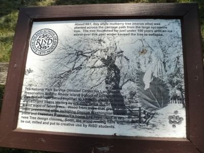
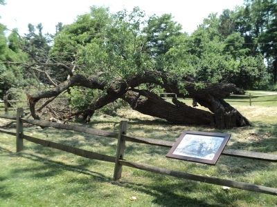
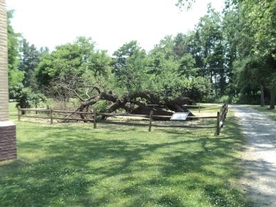
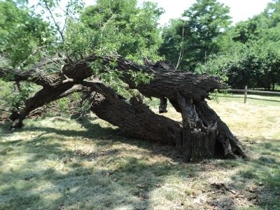
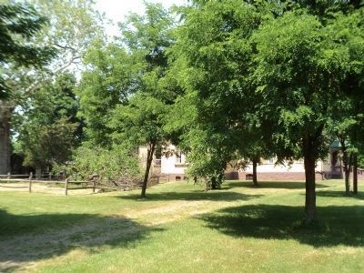
About 1861, this white mulberry tree (morus alba) was planted across the carriage path from the large sycamore tree. The tree flourished for just under 150 years until an ice storm over this past winter (2012) caused the tree to collapse.
The National Park Service Olmsted Center for Landscape Preservation and the Rhode Island School of Design Witness Tree Project have joined together at allow students to learn about United States History by creating items out of the hallowed wood of fallen trees. Wood from trees that grew at other presidential sites including George Washington’s birthplace and Theodore Roosevelt’s home has been used in Witness Tree design classes. Soon, the wood resting here will be cut, milled and put to creative use by RISD students.
Erected by Rhode Island School of Design.
Topics and series. This historical marker is listed in this topic list: Natural Features. In addition, it is included in the Former U.S. Presidents: #26 Theodore Roosevelt, and the Historic Trees series lists. A significant historical year for this entry is 1861.
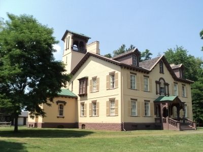
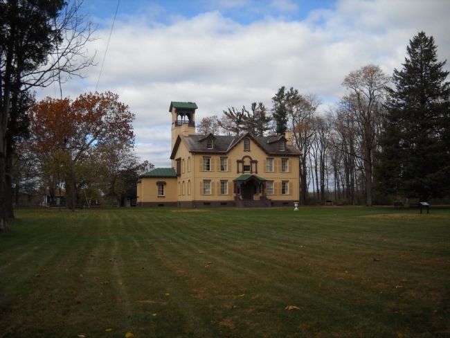
Location. 42° 22.187′ N, 73° 42.256′ W. Marker is in Kinderhook, New York, in Columbia County. Marker can be reached from Old Post Road, on the right when traveling south. Marker is located on the grounds of the Martin Van Buren National Historic Site, south of the mansion. Touch for map. Marker is in this post office area: Kinderhook NY 12106, United States of America. Touch for directions.
Other nearby markers. At least 8 other markers are within walking distance of this marker. Marble Mounting Block (within shouting distance of this marker); A Bustling Household (within shouting distance of this marker); Farm Operations (within shouting distance of this marker); Fertile Political Ground (within shouting distance of this marker); 1849-50 A House Transformed (within shouting distance of this marker); An Agrarian Lifestyle… (within shouting distance of this marker); Lindenwald (about 400 feet away, measured in a direct line); Lindenwald and the Old Post Road (about 400 feet away). Touch for a list and map of all markers in Kinderhook.
More about this marker. A picture of the mulberry tree appears on the background of the marker.
Also see . . .
1. Martin Van Buren National Historic Site. National Park Service website. (Submitted on June 22, 2012, by Bill Coughlin of Woodland Park, New Jersey.)
2. Biography of Martin Van Buren. (Submitted on June 22, 2012, by Bill Coughlin of Woodland Park, New Jersey.)
3. Van Buren, Martin, National Historic Site - National Park Service. Download National Register of Historic Places documentation (Submitted on January 17, 2024, by Anton Schwarzmueller of Wilson, New York.)
Credits. This page was last revised on January 17, 2024. It was originally submitted on June 22, 2012, by Bill Coughlin of Woodland Park, New Jersey. This page has been viewed 861 times since then and 23 times this year. Photos: 1, 2, 3, 4, 5, 6, 7. submitted on June 22, 2012, by Bill Coughlin of Woodland Park, New Jersey.
