Elizabeth City in Pasquotank County, North Carolina — The American South (South Atlantic)
A Town Divided
Place of Execution
Photographed by Bernard Fisher, June 23, 2012
1. A Town Divided CWT Marker
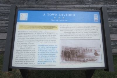
During the Civil War, neither the North nor the South was totally united over the key issues. Just as some Northerners supported slavery and secession, some Southerners were abolitionist and Unionists. These issues could split families, divide communities, and generate violence. As the “official” war progressed, quasi-military organization were formed to wage another war against soldiers and civilians alike. Ambushes and retaliation comprised the “war within the war” between 1861 and 1865.
The guerilla war in and around Elizabeth City reached a new level in February 1863. On February 9, Lt. Thaddeus Cox, Co. D, 1st North Carolina Volunteers (U.S.), rode sixteen miles into the country to bring his family to town. According to his company commander, Capt. Enos C. Sanders, “On his return he was attacked by a gang of guerillas, who came upon him from a thicket and tired a volley, killing him and a girl of four years old instantly and wounding the [nine-months-pregnant] wife so that she died on the 13th instant. Three other men of my company were wounded, 1 mortally, 1 badly, 1 slightly.”
Sanders’s own brother had been
this page online
White was executed on the waterfront near here, and reportedly his body lay where it fell until his sister was allowed to claim it on February 17. Angry secessionists appealed to the Federal army for the arrest of Sanders. Ten months later, he was detained but never brought to trial.
“One night about sundown without trial or orders of any kind, a squad of them took [White] to the wharf & putting him up as a target, one by one they shot at him until they killed him and refusing to let his body be moved, would let no one come near it.” – Catherine Ann DevereuxEdmondston, diary, Nov. 30, 1863Photographed by Bernard Fisher, June 23, 20122. A Town Divided Marker
Major funding for this project was provided by the North Carolina Department of Transportation, through the Transportation Enhancement Program of the Federal Transportation Efficiency Act for the 21st Century
Erected by North Carolina Civil War Trails.
Topics and series. This historical marker is listed in this topic list: War, US Civil. In addition, it is included in the North Carolina Civil War Trails series list. A significant historical month for this entry is February 1863.
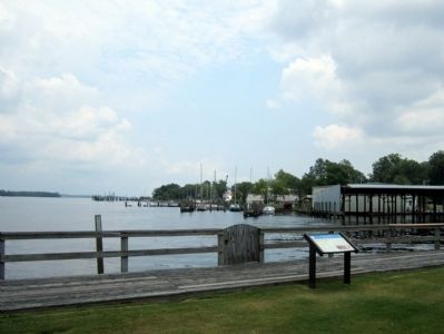
Location. 36° 17.824′ N, 76° 13.071′ W. Marker is in Elizabeth City, North Carolina, in Pasquotank County. It can be reached from the intersection of South Water Street and East Ehringhaus Street, on the left when traveling south. Touch for map. Marker is at or near this postal address: 501 S Water St, Elizabeth City NC 27909, United States of America. Touch for directions.

Regionally, this marker is in North Carolina’s Coastal Plain. It is also in the American South, specifically in the Upper South, in the Tidewater, and on the Eastern Seaboard. Globally, it is in the North Atlantic Region, North America, the Western
Photographed by Bernard Fisher, June 25, 2012
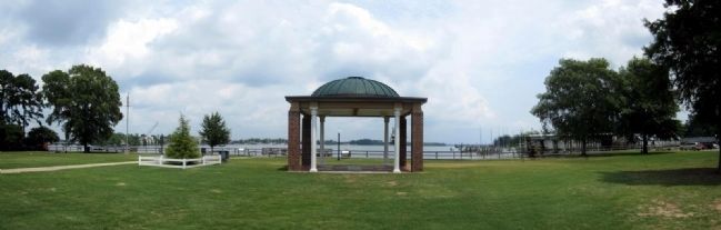
3. Elizabeth City Waterfront Park
Other nearby markers. At least 8 other markers are within walking distance of this marker: Pasquotank River (here, next to this marker); Battle of Elizabeth City (a few steps from this marker); Wright Brothers in the Albemarle (within shouting distance of this marker); J. C. B. Ehringhaus (about 300 feet away, measured in a direct line); Joseph C. Price (about 300 feet away); Culpeper’s Rebellion (about 500 feet away); Illegal Liquor in the Albemarle Sound Region (about 500 feet away); Museum of the Albemarle Land Acknowledgement (about 500 feet away). Touch for a list and map of all markers in Elizabeth City.
More about this marker. On the right is an illustration with the caption, "Execution by firing squad," Harper’s Weekly, Dec. 28, 1861
Credits. This page was last revised on June 22, 2025. It was originally submitted on June 25, 2012, by Bernard Fisher of Richmond, Virginia. This page has been viewed 841 times since then and 42 times this year. Photos: 1, 2, 3. submitted on June 25, 2012, by Bernard Fisher of Richmond, Virginia.
