Townsend in Blount County, Tennessee — The American South (East South Central)
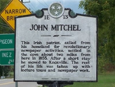
John Mitchel
Erected by Tennessee Historical Commission. (Marker Number 1E 13.)
Topics and series. This historical marker is listed in these topic lists: Communications • Education • Patriots & Patriotism • Settlements & Settlers. In addition, it is included in the Tennessee Historical Commission series list. A significant historical year for this entry is 1855.
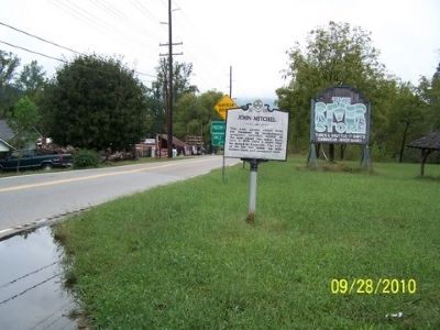
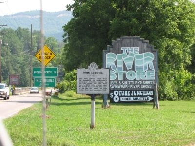
Location. 35° 40.769′ N, 83° 44.009′ W. Marker is in Townsend, Tennessee, in Blount County. Marker is on Wears Valley Road (U.S. 321) just north of Lamar Alexander Parkway (U.S. 321), on the right when traveling north. The marker is located approximately 100 yds north of US Hwy 321, Lamar Alexander Parkway. Touch for map. Marker is in this post office area: Townsend TN 37882, United States of America. Touch for directions.
Other nearby markers. At least 8 other markers are within 9 miles of this marker, measured as the crow flies. On this site August 17, 1915 (approx. 0.6 miles away); The Little River Lumber Company (approx. 1.1 miles away); Tuckaleechee Villages (approx. 3 miles away); Gamble's Station (approx. 5.8 miles away); Civilian Conservation Corps (approx. 7.2 miles away); Wonderland Hotel (approx. 8.2 miles away); Laurel Falls Trail (approx. 8.6 miles away); Appalachian Clubhouse (approx. 8.7 miles away). Touch for a list and map of all markers in Townsend.
Also see . . . John Mitchel - Wikipedia. (Submitted on December 23, 2010, by Bill Pfingsten of Bel Air, Maryland.)
Credits. This page was last revised on December 15, 2019. It was originally submitted on December 19, 2010. This page has been viewed 1,060 times since then and 36 times this year. Last updated on June 26, 2012. Photos: 1, 2. submitted on December 19, 2010. 3. submitted on June 26, 2012, by Lee Hattabaugh of Capshaw, Alabama. • Kevin W. was the editor who published this page.


