Creswell in Washington County, North Carolina — The American South (South Atlantic)
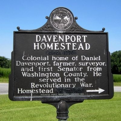
Davenport Homestead
circa 1770
Erected 1999 by Washington County Bicentennial Commission.
Topics. This historical marker is listed in these topic lists: Colonial Era • Government & Politics • War, US Revolutionary.
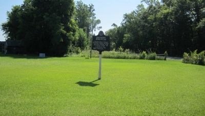
Location. 35° 52.205′ N, 76° 26.988′ W. Marker is in Creswell, North Carolina, in Washington County. Marker is at the intersection of Mt Tabor Road and Arnold Hill Road, on the right when traveling west on Mt Tabor Road. Touch for map. Marker is in this post office area: Creswell NC 27928, United States of America. Touch for directions.
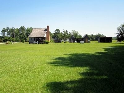
Other nearby markers. At least 8 other markers are within 4 miles of this marker, measured as the crow flies. The Davenport Home (within shouting distance of this marker); Concord Primitive Baptist Church (approx. 2.1 miles away); Cherry Colored School (approx. 2.1 miles away); Cherry (approx. 2.2 miles away); Cool Spring (approx. 3.1 miles away); Lake Company (approx. 3.3 miles away); James Johnston Pettigrew (approx. 3.3 miles away); Somerset Place (approx. 3.3 miles away). Touch for a list and map of all markers in Creswell.
Credits. This page was last revised on June 16, 2016. It was originally submitted on July 2, 2012, by Bernard Fisher of Richmond, Virginia. This page has been viewed 595 times since then and 24 times this year. Photos: 1, 2, 3. submitted on July 2, 2012, by Bernard Fisher of Richmond, Virginia.


