The Finger Lakes
Historic New York
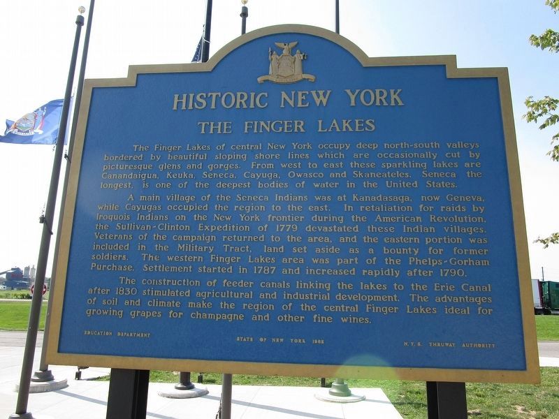
A main village of the Seneca Indians was Kanadasaga, now Geneva, while Cayugas occupied the region to the east. In retaliation for raids by Iroquois Indians on the New York frontier during the American Revolution, the Sullivan Clinton Expedition of 1779 devastated these Indian villages. Veterans of the campaign returned to the area, and the eastern portion was included in the Military Tract, land set aside as a bounty to former soldiers. The western Finger Lakes area was part of the Phelps-Gorham Purchase. Settlement started in 1787 and increased rapidly after 1790.
The construction of feeder canals linking the lakes to the Erie Canal after 1830 stimulated agricultural and industrial development. The advantages of soil and climate make the region of the central Finger
this page online
Erected by Education Department, State of New York & the NYS Thruway Authority.
Topics and series. This historical marker is listed in this topic list: Settlements & Settlers. In addition, it is included in the Erie Canal, and the Historic New York State series lists. A significant historical year for this entry is 1779.
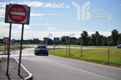
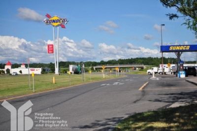
Location. 42° 57.53′ N, 76° 55.065′ W. Marker is in Waterloo, New York, in Seneca County. It can be reached from NYS Thruway - Junius Ponds Rest Area. Every rest are on the NYS Thruway has one of these plaques. They cannot be seen from the Thruway, but if you park, you can read it at your leisure. Touch for map. Marker is in this post office area: Clyde NY 14433, United States of America. Touch for directions.

Regionally, this marker is in Upstate New York, specifically in Western New York, and in the Finger Lakes. It is also in the American Northeast and in the Mid-Atlantic. Globally, it is in North America, the Western Hemisphere, the Western World, and the Anglosphere. Historically, it finds itself in what was once the Haudenosaunee
Other nearby markers. At least 8 other markers are within 5 miles of this marker, measured as the crow flies: 1st Methodist E. Church (approx. 1.8 miles away); Early History of Waterloo (approx. 4.3 miles away); Waterloo 1795 - 1927 (approx. 4.3 miles away); The Scythe Tree (approx. 4.4 miles away); Civil War Memorial (approx. 4½ miles away); Skoi-Yase (approx. 4½ miles away); Celebrating 100 Years of High School Education in Waterloo (approx. 4½ miles away); War Memorial (approx. 4½ miles away). Touch for a list and map of all markers in Waterloo.
Credits. This page was last revised on August 29, 2024. It was originally submitted on July 4, 2012, by Yugoboy of Rochester, New York. This page has been viewed 969 times since then and 28 times this year. Photos: 1. submitted on August 29, 2024, by Anton Schwarzmueller of Wilson, New York. 2, 3, 4. submitted on July 4, 2012, by Yugoboy of Rochester, New York. • Bill Pfingsten was the editor who published this page.
