Paul Smiths in Franklin County, New York — The American Northeast (Mid-Atlantic)
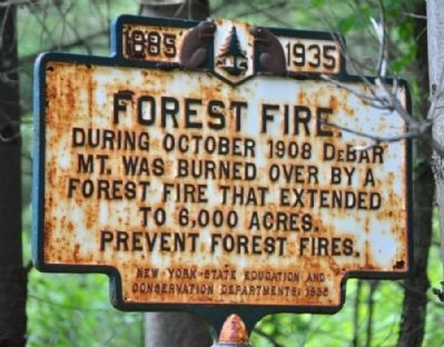
Forest Fire
1885 - 1935
Erected 1935 by New York State Education and Conservation Departments.
Topics. This historical marker is listed in these topic lists: Disasters • Horticulture & Forestry. A significant historical year for this entry is 1908.
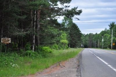
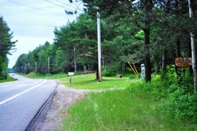
Location. 44° 30.681′ N, 74° 18.285′ W. Marker is in Paul Smiths, New York, in Franklin County. Marker is on New York State Route 30, 0.6 miles north of McCollums Rd., on the left when traveling south. This marker is a little more off the road than most. It's visible from the road, but it's tucked into the trees. I only noticed it driving southbound on Rte. 30; it's nearly invisible going north. Touch for map. Marker is at or near this postal address: 9150 Route 30, Paul Smiths NY 12970, United States of America. Touch for directions.
Other nearby markers. At least 8 other markers are within 16 miles of this marker, measured as the crow flies. A different marker also named Forest Fire (approx. 4˝ miles away); The Site of Camp S-60 (approx. 5˝ miles away); Pettis' Grave (approx. 5.7 miles away); Jennings Road (approx. 6.7 miles away); The Union Depot (approx. 15.1 miles away); Making History in Saranac Lake (approx. 15.2 miles away); a different marker also named Making History in Saranac Lake (approx. 15.2 miles away); Hotel Saranac (approx. 15.4 miles away). Touch for a list and map of all markers in Paul Smiths.
Credits. This page was last revised on June 16, 2016. It was originally submitted on July 6, 2012, by Yugoboy of Rochester, New York. This page has been viewed 511 times since then and 15 times this year. Photos: 1, 2, 3. submitted on July 6, 2012, by Yugoboy of Rochester, New York. • Bill Pfingsten was the editor who published this page.


