Davis in Yolo County, California — The American West (Pacific Coastal)
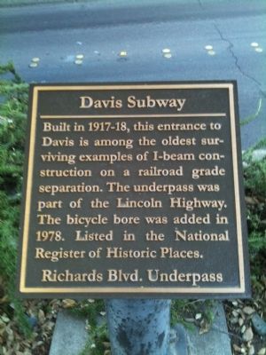
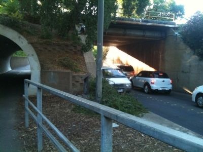
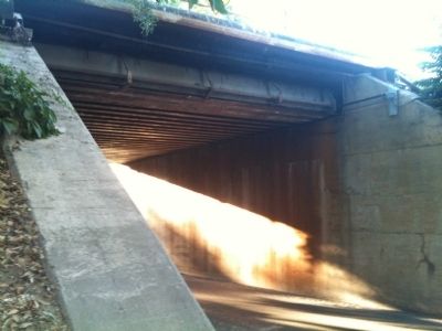
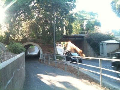
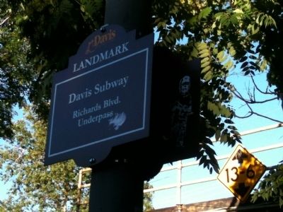
Davis Subway
Richards Blvd. Underpass
Topics and series. This historical marker is listed in these topic lists: Bridges & Viaducts • Railroads & Streetcars • Roads & Vehicles. In addition, it is included in the Lincoln Highway series list. A significant historical year for this entry is 1978.
Location. 38° 32.48′ N, 121° 44.38′ W. Marker is in Davis, California, in Yolo County. Marker can be reached from Richards Boulevard, half a mile south of 1st Street, on the left when traveling north. Touch for map. Marker is in this post office area: Davis CA 95616, United States of America. Touch for directions.
Other nearby markers. At least 8 other markers are within walking distance of this marker. Site of the First Yolo County Public Library Branch (about 500 feet away, measured in a direct line); Varsity Theatre (about 700 feet away); Dresbach-Hunt-Boyer Mansion (approx. 0.2 miles away); After a Fire, the City of Davis is Created (approx. 0.2 miles away); Remembering the Terminal Hotel Building (approx. 0.2 miles away); SP Depot (approx. 0.2 miles away); First Train Arrives in Davisville (approx. 0.2 miles away); Historic City Hall (approx. 0.2 miles away). Touch for a list and map of all markers in Davis.
Credits. This page was last revised on June 16, 2016. It was originally submitted on July 6, 2012, by Adrian Gabriel of Davis, California. This page has been viewed 791 times since then and 42 times this year. Photos: 1, 2, 3, 4, 5. submitted on July 6, 2012, by Adrian Gabriel of Davis, California. • Syd Whittle was the editor who published this page.
