Manitowoc in Manitowoc County, Wisconsin — The American Midwest (Great Lakes)
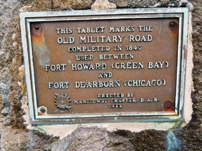
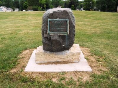
Old Military Road
Old Military Road
completed in 1840
used between
Fort Howard (Green Bay)
and
Fort Dearborn (Chicago)
Erected 1932 by Manitowoc Chapter Daughters of the American Revolution.
Topics and series. This historical marker is listed in these topic lists: Forts and Castles • Roads & Vehicles • Settlements & Settlers. In addition, it is included in the Daughters of the American Revolution series list. A significant historical year for this entry is 1840.
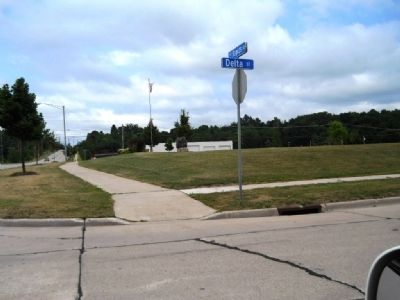
Location. 44° 5.972′ N, 87° 42.03′ W. Marker is in Manitowoc, Wisconsin, in Manitowoc County. Marker is at the intersection of North Rapids Road (County Road R) and Delta Street, on the right when traveling north on North Rapids Road. Touch for map. Marker is at or near this postal address: 4178 Delta St, Manitowoc WI 54220, United States of America. Touch for directions.
Other nearby markers. At least 8 other markers are within 2 miles of this marker, measured as the crow flies. First Court House and Jail (within shouting distance of this marker); The Wampum or Mexico (approx. ¼ mile away); County Hospital Cemetery (approx. 0.4 miles away); Potter's Field Cemetery (approx. 0.4 miles away); World War I Memorial (approx. 1.1 miles away); G.A.R - H.M. Walker Post 18 (approx. 1.3 miles away); Sexton House (approx. 1½ miles away); Soldiers and Sailors (approx. 1½ miles away). Touch for a list and map of all markers in Manitowoc.
Related markers. Click here for a list of markers that are related to this marker.
Credits. This page was last revised on August 25, 2021. It was originally submitted on July 7, 2012, by Kent Salomon of Manitowoc,, Wisconsin. This page has been viewed 715 times since then and 17 times this year. Photos: 1, 2, 3. submitted on July 7, 2012, by Kent Salomon of Manitowoc,, Wisconsin. • Bernard Fisher was the editor who published this page.


