Citrus Heights in Sacramento County, California — The American West (Pacific Coastal)
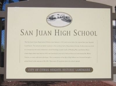
San Juan High School
City of Citrus Heights Historic Landmark
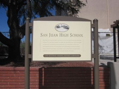
The San Juan High School District was formed in 1913 and named after the original San Juan Spanish Land Grant. The school served all students in the northern half of Sacramento County. Its first class was held in a temporary two-story elementary school building located south of Winding Way and Dewey Drive. A new high school was built in 1915 on Greenback Lane east of Sylvan Road on land donated by Walter Trainor, an early real estate developer. The construction of San Juan High School was financed through a school bond in the amount of $3,500. There were 50 students when the school opened.
Topics. This historical marker is listed in this topic list: Education. A significant historical year for this entry is 1913.
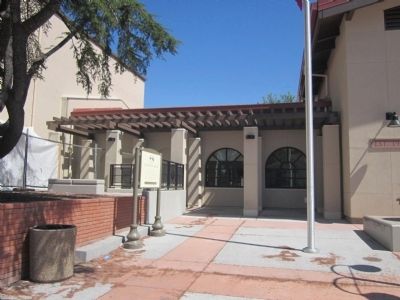
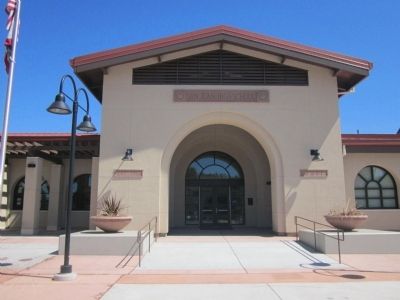
Location. 38° 40.705′ N, 121° 17.218′ W. Marker is in Citrus Heights, California, in Sacramento County. Marker is on Greenback Lane west of Mariposa Avenue, on the right when traveling west. Touch for map. Marker is at or near this postal address: 7551 Greenback Lane, Citrus Heights CA 95610, United States of America. Touch for directions.
Other nearby markers. At least 8 other markers are within 4 miles of this marker, measured as the crow flies. Citrus Heights Community Club (approx. 0.9 miles away); Sylvan School (approx. 0.9 miles away); Sylvan Cemetery (approx. 1˝ miles away); Sept. 11, 2001 Memorial (approx. 1.9 miles away); The Rusch Home (approx. 2.2 miles away); "Jim’s Bridge" (approx. 3.2 miles away); Walerga Assembly Center (approx. 3˝ miles away); Path of Honor (approx. 4 miles away). Touch for a list and map of all markers in Citrus Heights.
Also see . . . History of Sam Juan High School. Wikipedia entry:
The San Juan Union High School District was organized by 1913. It was composed of Sylvan, Orangevale, Fair Oaks, Roberts, and San Juan Districts. In 1913-1914 when the first classes were being held in the Grammar School, there were 46 students of whom 41 were freshmen. In June 1914 the first student graduated (Dorothy Gertrude Jerauld). (Submitted on July 7, 2012.)
Credits. This page was last revised on September 19, 2023. It was originally submitted on July 7, 2012, by Syd Whittle of Mesa, Arizona. This page has been viewed 784 times since then and 33 times this year. Photos: 1, 2, 3, 4. submitted on July 7, 2012, by Syd Whittle of Mesa, Arizona.


