
Tallula in Menard County, Illinois — The American Midwest (Great Lakes)
New Salem
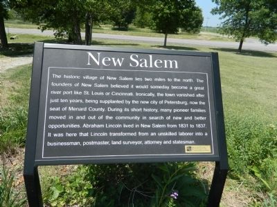
Photographed by Beverly Pfingsten, June 9, 2012
1. New Salem Marker
Topics. This historical marker is listed in this topic list: Settlements & Settlers. A significant historical year for this entry is 1831.
Location. 39° 56.702′ N, 89° 50.78′ W. Marker is in Tallula, Illinois, in Menard County. It is at the intersection of Illinois Route 123 and Route 97 on Illinois Route 123. Southwest corner of intersection. Touch for map. Marker is in this post office area: Tallula IL 62688, United States of America. Touch for directions.

Regionally, this marker is in Central Illinois, specifically
this page online
Other nearby markers. At least 8 other markers are within 5 miles of this marker, measured as the crow flies: Sangamon River (here, next to this marker); Historic Tree (here, next to this marker); Prairie Land (here, next to this marker); The Wayside Hawthorn (within shouting distance of this marker); Mentor Graham (about 800 feet away, measured in a direct line); The New Salem Lincoln League (approx. 2.3 miles away); The Survey of Petersburg (approx. 4½ miles away); The Frackelton State Bank (approx. 4½ miles away). Touch for a list and map of all markers in Tallula.
Another marker is no longer nearby. Lincoln’s Store Partner (was approx. 1½ miles away but has been confirmed missing).
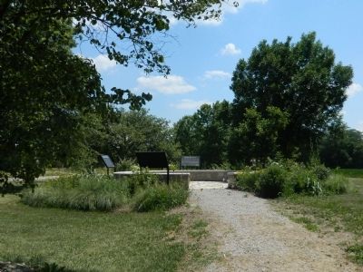
Photographed by Beverly Pfingsten, June 9, 2012
2. New Salem Marker
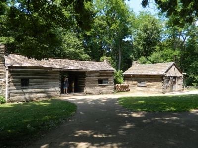
Photographed by Beverly Pfingsten, June 9, 2012
3. New Salem
Restored village.
Credits. This page was last revised on June 16, 2016. It was originally submitted on July 9, 2012, by Bill Pfingsten of Bel Air, Maryland. This page has been viewed 621 times since then and 20 times this year. Photos: 1, 2, 3. submitted on July 9, 2012, by Bill Pfingsten of Bel Air, Maryland.
