Near Broadalbin in Fulton County, New York — The American Northeast (Mid-Atlantic)
Johnson Hall - 1763
Johnstown
— Historic New York —
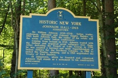
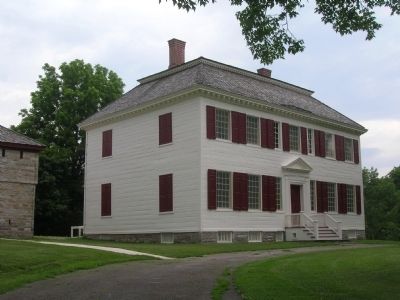
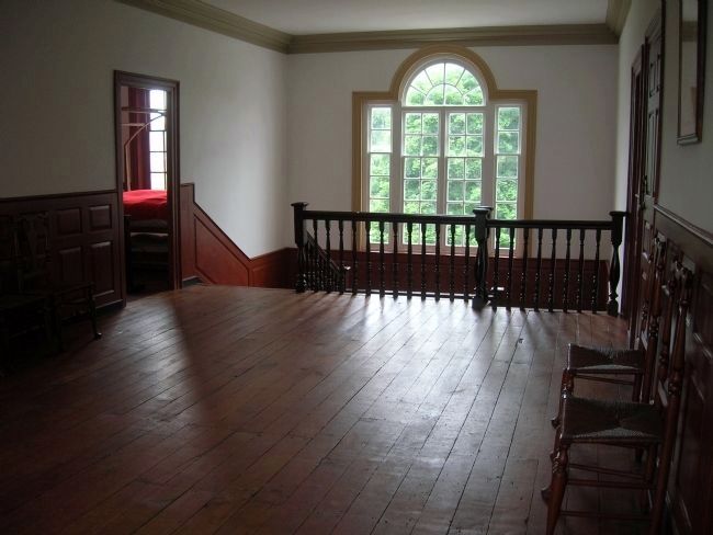
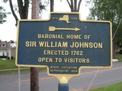
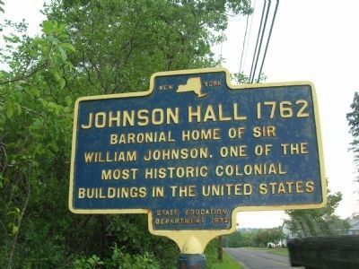
Sir William Johnson (1715-1774), Indian trader, statesman, diplomat and colonial empire builder. In 1763 he built Johnson Hall, the center of his estate and the scene of many Indian conferences.
Coming from Ireland in 1738, Johnson traded with the Indians and acquired great influence over them. After defeating the French at Lake George in 1755, he was created a baronet and made Superintendent of Indian Affairs for the Northern Colonies. In 1766 he ended the Pontiac uprising, and in 1768 negotiated the Treaty of Fort Stanwix.
At Johnstown, which he founded and colonized, Johnson Hall stands as a monument to his constructive achievement.
Erected 1961 by New York State Education Department.
Topics and series. This historical marker is listed in these topic lists: Notable Buildings • Settlements & Settlers. In addition, it is included in the Historic New York State series list. A significant historical year for this entry is 1763.
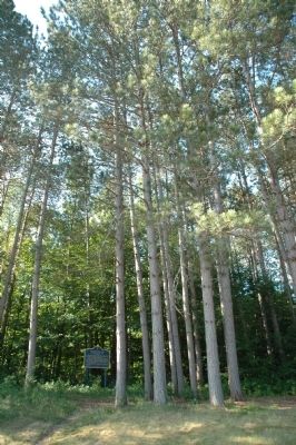
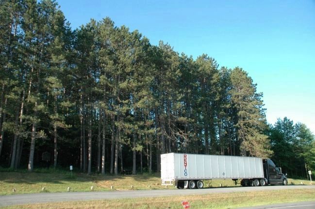
Location. 43° 3.063′ N, 74° 12.149′ W. Marker is near Broadalbin, New York, in Fulton County. Marker is on New York State Route 29, on the right when traveling east. Marker is located in the trees at a roadside pull off just west of Broadalbin, and east of the recent Route 30 - Route 29 roundabout in Vail Mills. The marker is over 10 miles away from Johnson Hall in Johnstown. Touch for map. Marker is in this post office area: Broadalbin NY 12025, United States of America. Touch for directions.
Other nearby markers. At least 8 other markers are within walking distance of this marker. 1849 Plank Road (approx. 0.3 miles away); Hotel Broadalbin (approx. 0.4 miles away); Dutch Reformed Church (approx. half a mile away); Broadalbin World War Two Memorial (approx. 0.6 miles away); Kennyetto Creek (approx. 0.6 miles away); In Honor/Dedicated/Gratitude (approx. 0.6 miles away); Fenton Farm (approx. 0.6 miles away); 1879 Fire (approx. 0.6 miles away). Touch for a list and map of all markers in Broadalbin.
Also see . . .
1. Johnson Hall State Historic Site. New York States Parks, Recreation and Historic Preservation website entry (Submitted on July 12, 2012, by Howard C. Ohlhous of Duanesburg, New York.)
2. Johnson Hall National Historic Landmark- National Park Service. Download National Historic Landmark documentation (Submitted on February 12, 2024, by Anton Schwarzmueller of Wilson, New York.)
Additional keywords. Sir William Johnson Johnson Hall
Credits. This page was last revised on February 12, 2024. It was originally submitted on July 12, 2012, by Howard C. Ohlhous of Duanesburg, New York. This page has been viewed 737 times since then and 30 times this year. Photos: 1, 2, 3, 4, 5, 6, 7. submitted on July 12, 2012, by Howard C. Ohlhous of Duanesburg, New York. • Bill Pfingsten was the editor who published this page.
