Kingston in Ulster County, New York — The American Northeast (Mid-Atlantic)
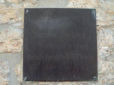
Kingston Academy
Photographed by Bill Coughlin, July 12, 2012
1. Kingston Academy Marker
Kingston Academy
when founded in 1774
Partially burned by British troops
October 16th, 1777
Topics. This historical marker is listed in these topic lists: Education • War, US Revolutionary. A significant historical month for this entry is October 1917.
Location. 41° 56.016′ N, 74° 1.268′ W. Marker is in Kingston, New York, in Ulster County. It is at the intersection of Crown Street and John Street, on the right when traveling south on Crown Street. Touch for map. Marker is in this post office area: Kingston NY 12401, United States of America. Touch for directions.

Regionally, this marker is in Upstate New York and in the Hudson Valley. It is also in the American Northeast, in the Mid-Atlantic, and on the Eastern Seaboard. Globally, it is in the North Atlantic Region, North America, the Western Hemisphere, the Western World, and the Anglosphere. Historically, it finds itself in what was once New Netherland and also one of the original Thirteen Colonies.
Other nearby markers. At least 8 other markers are within walking distance of this marker: The Four Corners (a few steps from this
this page online
Photographed by Bill Coughlin, July 12, 2012
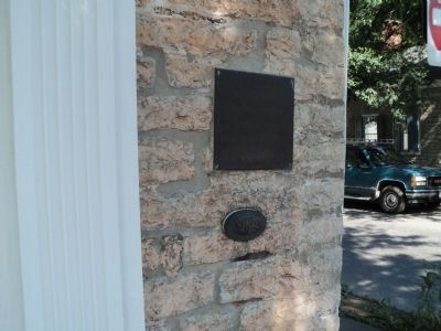
2. Kingston Academy Marker
A City of Kingston Designated Landmark marker is seen here below the main marker.
Photographed by Bill Coughlin, July 12, 2012
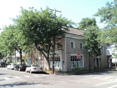
3. Marker on Crown Street
The marker is seen here on the corner of the building.
Photographed by Bill Coughlin, July 12, 2012
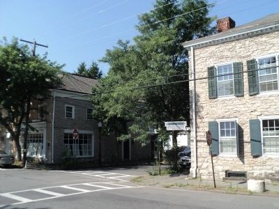
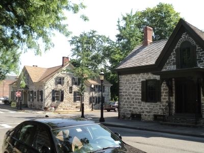
4. Four Corners (South View)
John Street and Crown Street in Kingston is the only intersection in the country where 18th century houses stand at all four corners. The Kingston Academy Building is seen on the left and the Dr. Matthew Jansen House to the right.
Photographed by Bill Coughlin, July 12, 2012
5. Four Corners (North View)
Visible on the north side of the intersection are the Franz Roggen House (left) and Matthewis Persen House (right).
Credits. This page was last revised on June 16, 2016. It was originally submitted on July 13, 2012, by Bill Coughlin of Woodland Park, New Jersey. This page has been viewed 652 times since then and 55 times this year. Photos: 1, 2, 3, 4, 5. submitted on July 13, 2012, by Bill Coughlin of Woodland Park, New Jersey.
