Port Royal in Caroline County, Virginia — The American South (Mid-Atlantic)
The Sacred Lot
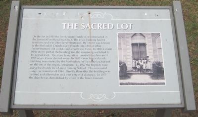
Photographed by Kevin W., July 11, 2012
1. The Sacred Lot Marker
Topics. This historical marker is listed in this topic list: Religion & Religious Structures. A significant historical year for this entry is 1820.
Location. 38° 10.198′ N, 77° 11.551′ W. Marker is in Port Royal, Virginia, in Caroline County. It is at the intersection of Middle Street and
this page online

Regionally, this marker is in the Piedmont and in Central Virginia. It is also in the American South, specifically in the Upper South, and on the Eastern Seaboard. Globally, it is in the North Atlantic Region, North America, the Western Hemisphere, the Western World, and the Anglosphere. Historically, it finds itself in what was once the territory of the Mississippian Culture, one of the original Thirteen Colonies, one of the Confederate States of America, and the Antebellum South.
Other nearby markers. At least 8 other markers are within walking distance of this marker: Old Port Royal (about 300 feet away, measured in a direct line); Port Royal (about 400 feet away); The Fox Tavern: A Colonial Landmark (about 700 feet away); Dorothy Roy (approx. 0.2 miles away); St. Peter's Church (approx. 0.2 miles away); The Earliest Inhabitants: Native Americans (approx. 0.2 miles away); a different marker also named Port Royal (approx. ¼ mile away); a different marker
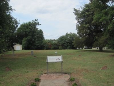
Photographed by Kevin W., July 11, 2012
2. The Sacred Lot Marker
Credits. This page was last revised on June 16, 2016. It was originally submitted on July 14, 2012, by Kevin W. of Stafford, Virginia. This page has been viewed 2,430 times since then and 99 times this year. Photos: 1. submitted on July 14, 2012, by Kevin W. of Stafford, Virginia. 2. submitted on July 15, 2012, by Kevin W. of Stafford, Virginia.
