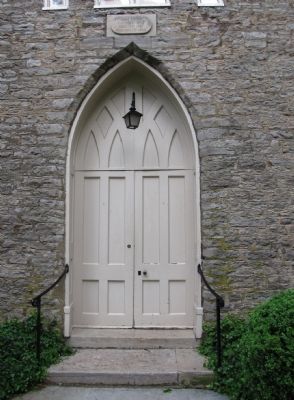
Near Versailles in Woodford County, Kentucky — The American South (East South Central)
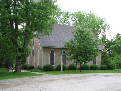
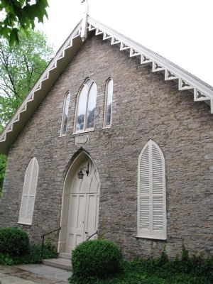
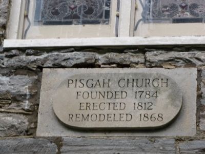
Pisgah Church
3/4 mile →
Erected by Kentucky Department of Highways. (Marker Number 86.)
Topics. This historical marker is listed in these topic lists: Churches & Religion • Education • Notable Buildings. A significant historical year for this entry is 1784.
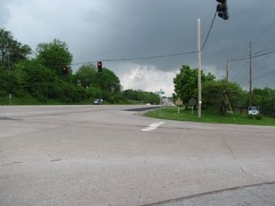
Location. 38° 2.665′ N, 84° 39.411′ W. Marker is near Versailles, Kentucky, in Woodford County. Marker is at the intersection of Versailles Road (U.S. 60) and Pisgah Pike (State Highway 1967), on the right when traveling west on Versailles Road. Touch for map. Marker is at or near this postal address: 230 Pisgah Pike, Versailles KY 40383, United States of America. Touch for directions.
Other nearby markers. At least 8 other markers are within 4 miles of this marker, measured as the crow flies. Albert Benjamin Chandler / Gov. Albert B. Chandler (here, next to this marker); Lt. Gen. Field Harris, USMC (approx. 0.6 miles away); Calmes Tomb (approx. 2.4 miles away); Buck Pond (approx. 2.4 miles away); Hemp in Kentucky / Woodford County Hemp (approx. 2.4 miles away); Huntertown (approx. 2.4 miles away); Keeneland (approx. 3.1 miles away); Josephine Henry (approx. 3.8 miles away). Touch for a list and map of all markers in Versailles.
Credits. This page was last revised on November 5, 2020. It was originally submitted on May 18, 2010, by Lee Hattabaugh of Capshaw, Alabama. This page has been viewed 1,043 times since then and 24 times this year. Last updated on July 15, 2012, by Ken Smith of Milan, Tennessee. Photos: 1, 2, 3, 4, 5, 6. submitted on May 18, 2010, by Lee Hattabaugh of Capshaw, Alabama. • Bernard Fisher was the editor who published this page.
