Kingston in Ulster County, New York — The American Northeast (Mid-Atlantic)
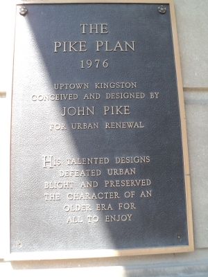
The Pike Plan
1976
conceived and designed by
John Pike
for urban renewal
His talented designs
defeated urban
blight and preserved
the character of an
older era for
all to enjoy.
Topics. This historical marker is listed in this topic list: Man-Made Features.
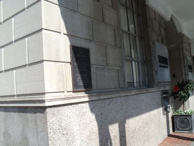
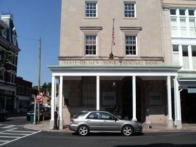
Location. 41° 56.035′ N, 74° 1.187′ W. Marker is in Kingston, New York, in Ulster County. Marker is at the intersection of Wall Street and John Street, on the left when traveling north on Wall Street. Marker is located at the northwest corner of the intersection. Touch for map. Marker is in this post office area: Kingston NY 12401, United States of America. Touch for directions.
Other nearby markers. At least 8 other markers are within walking distance of this marker. The Stockade Historic District (a few steps from this marker); Sojourner Truth (within shouting distance of this marker); Beginning of the State of New York (within shouting distance of this marker); The Loughran House (about 300 feet away, measured in a direct line); The Four Corners (about 300 feet away); Senate House Museum (about 400 feet away); Kingston Academy (about 400 feet away); a different marker also named Kingston Academy (about 400 feet away). Touch for a list and map of all markers in Kingston.
Credits. This page was last revised on June 16, 2016. It was originally submitted on July 16, 2012, by Bill Coughlin of Woodland Park, New Jersey. This page has been viewed 521 times since then and 94 times this year. Photos: 1, 2, 3, 4. submitted on July 16, 2012, by Bill Coughlin of Woodland Park, New Jersey.


