Washburn in Bayfield County, Wisconsin — The American Midwest (Great Lakes)
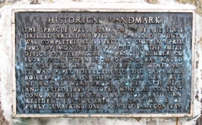
The Sprague Well
Historical Landmark
Photographed by Paul Fehrenbach, June 17, 2012
1. The Sprague Well Marker
Topics. This historical marker is listed in this topic list: Landmarks. A significant historical month for this entry is April 1903.
Location. 46° 40.009′ N, 90° 54.363′ W. Marker is in Washburn, Wisconsin, in Bayfield County. It can be reached from the intersection of 8th Avenue West and Lakeview Drive. Located in Thompson's West End Park at the end of 8th Ave. Touch for map. Marker is in this post office area: Washburn WI 54891, United States of America. Touch for directions.

Regionally, this marker is on Wisconsin’s North Shore. It is also in the American
this page online
Other nearby markers. At least 8 other markers are within 6 miles of this marker, measured as the crow flies: Washburn Historic Waterfront (approx. 0.2 miles away); Washburn Lumbering Days / The Hines Lumber Company (approx. ¼ mile away); Bank of Washburn (approx. 0.8 miles away); Washburn, The Monolith City (approx. 0.8 miles away); Madeline Island (approx. 4.1 miles away); Schooner Lucerne (approx. 4.9 miles away); Fleet Admiral William D. Leahy (approx. 4.9 miles away); Doctor Edwin Ellis (approx. 5.2 miles away). Touch for a list and map of all markers in Washburn.
Photographed by Paul Fehrenbach, June 17, 2012
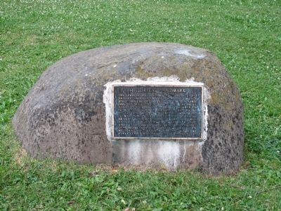
2. The Sprague Well Marker
Photographed by Paul Fehrenbach, June 17, 2012
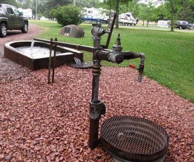
3. The Sprague Well Marker
Photographed by Paul Fehrenbach, June 17, 2012
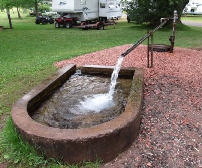
4. The Sprague Well Marker
Credits. This page was last revised on June 16, 2016. It was originally submitted on July 24, 2012, by Paul Fehrenbach of Richfield, Wisconsin. This page has been viewed 1,338 times since then and 68 times this year. Photos: 1, 2, 3, 4. submitted on July 24, 2012, by Paul Fehrenbach of Richfield, Wisconsin. • Bernard Fisher was the editor who published this page.
