
French Gulch in Shasta County, California — The American West (Pacific Coastal)
French Gulch
Photographed by Syd Whittle, May 8, 2008
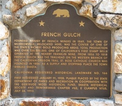
1. French Gulch Marker
First Registered January 11, 1935.
Erected 1993 by State Department of Parks and Recreation in cooperation with the Gertrude Moss Historical Fund, Shasta Historical Society and Trinitarianus Chapter #62, E Clampus Vitus. (Marker Number 166.)
Topics and series. This historical marker is listed in these topic lists: Natural Resources • Notable Places • Religion & Religious Structures • Settlements & Settlers. In addition, it is included in the California Historical Landmarks, and the E Clampus Vitus series lists. A significant historical date for this entry is January 11, 1850.
Location. 40° 41.969′ N, 122° 38.324′ W. Marker is in French Gulch, California,
this page online

Regionally, this marker is in California’s Sacramento Valley, specifically in the Central Valley, and in the Shasta Cascade. It is also on the American Pacific Coast. Globally, it is in North America, in the Cascade Range, on the Ring of Fire, in the Pacific Rim, in the Western Hemisphere, in the Western World, and in the Anglosphere. Historically, it finds itself in what was once New Spain and also Mexico’s Alta California.
Other nearby markers. At least 8 other markers are within 9 miles of this marker, measured as the crow flies: French Gulch Hotel (here, next to this marker); E. Franck & Co. (a few steps from this marker); French Gulch Lodge (about 500 feet away, measured in a direct line); I.O.O.F. Lodge #75 (approx. ¼ mile away); Camden House (approx. 2.4 miles away); Toll Bridge (approx. 2½ miles away); Tower House Historic District (approx. 2½ miles away); Lewiston Hotel (approx. 8.7 miles away). Touch for a list and map
Photographed by Syd Whittle, May 8, 2008
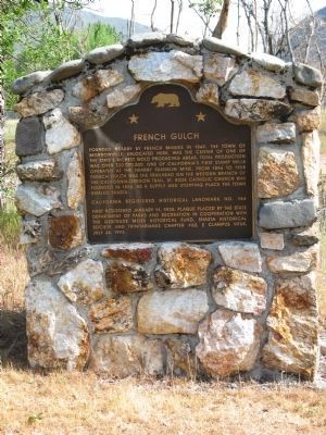
2. French Gulch Marker
Additional keywords. Gold Rush
Photographed by Syd Whittle, May 8, 2008
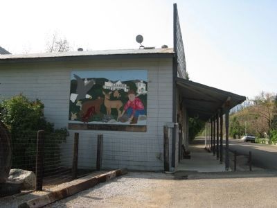
3. French Gulch Mural
Students, Staff and Friends, 1996
Photographed by Syd Whittle, May 8, 2008
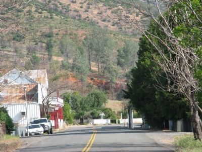
4. French Gulch Main Street
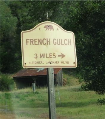
Photographed by Syd Whittle, May 8, 2008
5. French Gulch Directional Sign Located on Highway 299
Credits. This page was last revised on June 16, 2016. It was originally submitted on August 12, 2008, by Syd Whittle of Mesa, Arizona. This page has been viewed 2,400 times since then and 38 times this year. Last updated on July 25, 2012, by Michael Kindig of Elk Grove, California. Photos: 1, 2, 3, 4. submitted on August 12, 2008, by Syd Whittle of Mesa, Arizona. 5. submitted on April 12, 2009, by Syd Whittle of Mesa, Arizona.
