Santa Clara in Santa Clara County, California — The American West (Pacific Coastal)
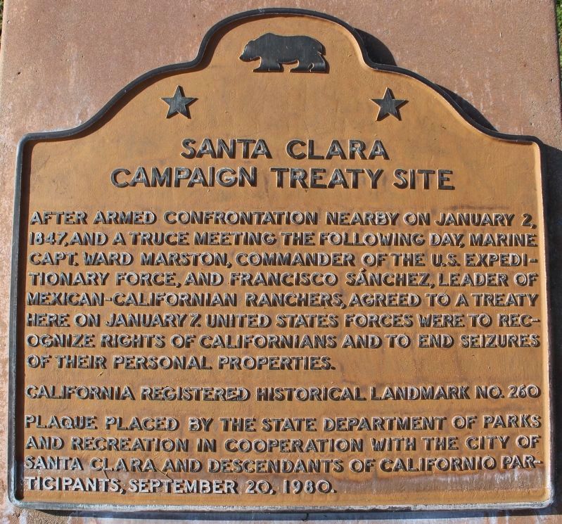
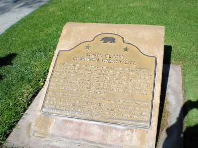
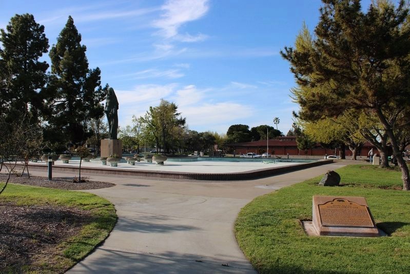
Santa Clara Campaign Treaty Site
Erected 1980 by State Department of Parks and Recreation, City of Santa Clara, and Descendants of Californio Participants. (Marker Number 260.)
Topics and series. This historical marker is listed in these topic lists: Peace • War, Mexican-American. In addition, it is included in the California Historical Landmarks series list. A significant historical month for this entry is January 1852.
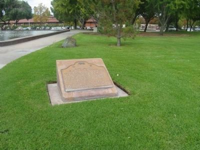
Location. 37° 21.156′ N, 121° 57.238′ W. Marker is in Santa Clara, California, in Santa Clara County. Marker is at the intersection of El Camino Real and Lincoln Street, on the left when traveling south on El Camino Real. Plaque located in Civic Center Park. Touch for map. Marker is in this post office area: Santa Clara CA 95050, United States of America. Touch for directions.
Other nearby markers. At least 8 other markers are within walking distance of this marker. De Anza Expedition 1775 – 1776 (a few steps from this marker); Saint Clare (within shouting distance of this marker); Armistice Oak Tree Site (within shouting distance of this marker); The Battle of Santa Clara (within shouting distance of this marker); Morgan House (about 700 feet away, measured in a direct line); John Fatjo House (approx. 0.2 miles away); Austen D. Warburton (approx. 0.3 miles away); Headen-Inman House (approx. 0.3 miles away). Touch for a list and map of all markers in Santa Clara.
Photographed By Leticia A. Kohnen, October 19, 2006
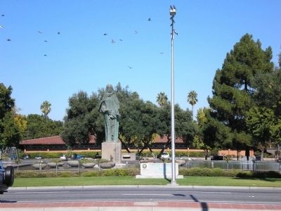
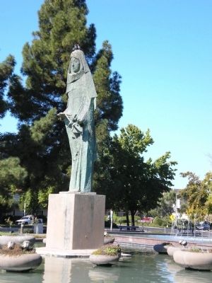
5. Saint Clare
This 8 foot tall statue of Santa Clara of Assisi, the city’s patron saint, stands in the reflecting pool of the fountain in Civic Center Park. A plaque nearby reads “Saint Clare by Anne Van Kleeck. Bronze statue cast by ancient lost wax process in Italy 1965. Saint Clare is Patron Saint of Santa Clara. Statue was shipped by boat around Cape Horn to Santa Clara October 1965.”
Credits. This page was last revised on April 16, 2023. It was originally submitted on September 21, 2007, by Mathew H. Kohnen of San Jose, California. This page has been viewed 2,612 times since then and 27 times this year. Last updated on July 25, 2012, by Michael Kindig of Elk Grove, California. Photos: 1. submitted on April 16, 2023, by Joseph Alvarado of Livermore, California. 2. submitted on September 21, 2007, by Mathew H. Kohnen of San Jose, California. 3. submitted on November 10, 2009. 4, 5. submitted on September 21, 2007, by Mathew H. Kohnen of San Jose, California. 6. submitted on April 16, 2023, by Joseph Alvarado of Livermore, California. • Syd Whittle was the editor who published this page.
