Etna in Siskiyou County, California — The American West (Pacific Coastal)
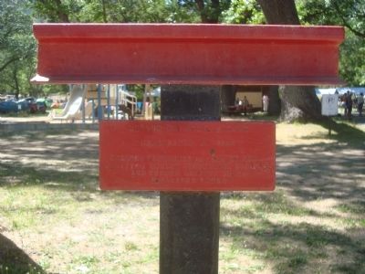
Hudson Bay Trail
Originated 1836
Erected 1978 by Siskiyou County Historical Society and Humbug Chapter No. 73, E Clampus Vitus.
Topics and series. This historical marker is listed in this topic list: Roads & Vehicles. In addition, it is included in the E Clampus Vitus series list. A significant historical year for this entry is 1836.
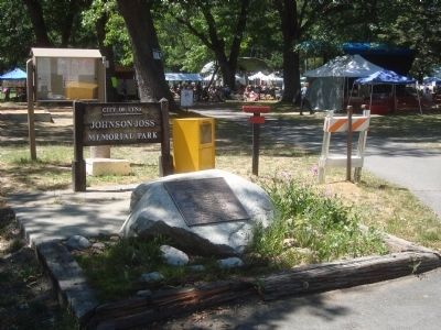
Location. 41° 27.532′ N, 122° 53.952′ W. Marker is in Etna, California, in Siskiyou County. Marker can be reached from the intersection of Howell Road and Center Street and Diggles Road. The marker is located near the parking area at the entrance to Johnson-Joss City Park. Touch for map. Marker is at or near this postal address: 500 Howell Road, Etna CA 96027, United States of America. Touch for directions.
Other nearby markers. At least 8 other markers are within walking distance of this marker. Johnson - Joss Memorial Park (here, next to this marker); Hallie Daggett: Sophisticated Lady and Hardy Pioneer (a few steps from this marker); Senator Randolph Collier (approx. ¼ mile away); I.O.O.F. Hall (approx. ¼ mile away); City of Etna (approx. 0.3 miles away); This land of ‘Siskiyou’... (approx. 0.3 miles away); Etna Cemetery Veterans Memorial (approx. 0.4 miles away); Stephen H. Meek (approx. half a mile away). Touch for a list and map of all markers in Etna.
Regarding Hudson Bay Trail. The Hudson Bay Trail is more correctly called the Siskiyou Trail, which stretched from California's Central Valley to Oregon's Willamette Valley; modern-day Interstate 5 follows this pioneer path. Originally based on existing Native American foot trails winding their way through river valleys, the Siskiyou Trail provided the shortest practical travel path between early settlements in California and Oregon.
Also see . . . Siskiyou Trail. Wikipedia entry. (Submitted on November 24, 2020, by Larry Gertner of New York, New York.)
Credits. This page was last revised on November 24, 2020. It was originally submitted on July 29, 2012, by Barry Swackhamer of Brentwood, California. This page has been viewed 586 times since then and 16 times this year. Photos: 1, 2. submitted on July 29, 2012, by Barry Swackhamer of Brentwood, California. • Syd Whittle was the editor who published this page.

