Near Howard in Elk County, Kansas — The American Midwest (Upper Plains)
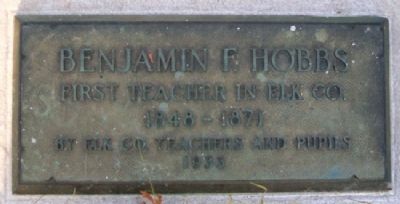
Benjamin F. Hobbs
Photographed by William Fischer, Jr., July 7, 2012
1. Benjamin F. Hobbs Marker
1848 – 1871
Erected 1933 by Elk County Teachers and Pupils.
Topics. This historical marker is listed in this topic list: Education. A significant historical year for this entry is 1848.
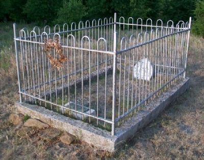
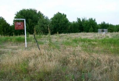
Location. 37° 30.411′ N, 96° 15.16′ W. Marker is near Howard, Kansas, in Elk County. It is on State Highway 99 near Native Road, on the right when traveling north. Marker and grave site sit about 100 yards east of the highway, about two miles north of Howard. Touch for map. Marker is in this post office area: Howard KS 67349, United States of America. Touch for directions.

Regionally, this marker is in Eastern Kansas. It is also in the American Midwest, in the Corn Belt, on the prairies, and on the Southern Plains. Globally, it is in North America, the Western Hemisphere, the Western World, and the Anglosphere. Historically, it finds itself in what was once the Louisiana Purchase.
Other nearby markers. At least 6 other markers are within 10 miles of this marker, measured as the crow flies: Howard Bells (approx. 2.6 miles away); Veterans Memorial (approx. 2.6 miles away); Prudence Crandall (approx.
this page online
Photographed by William Fischer, Jr., July 7, 2012
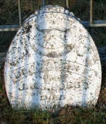
2. Benjamin F. Hobbs Grave Marker
Photographed by William Fischer, Jr., July 7, 2012
3. Benjamin F. Hobbs Grave Site
Photographed by William Fischer, Jr., July 7, 2012
4. Benjamin F. Hobbs Grave Site
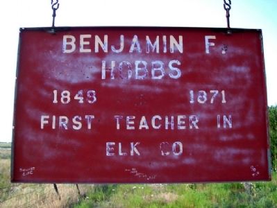
Photographed by William Fischer, Jr., July 7, 2012
5. Benjamin F. Hobbs Sign
Credits. This page was last revised on December 15, 2024. It was originally submitted on July 30, 2012, by William Fischer, Jr. of Reynoldsburg, Ohio. This page has been viewed 652 times since then and 35 times this year. Photos: 1, 2, 3, 4, 5. submitted on July 30, 2012, by William Fischer, Jr. of Reynoldsburg, Ohio.
