Near Kennedy Meadows in Tuolumne County, California — The American West (Pacific Coastal)
Sonora Mono Toll Road
Photographed by Syd Whittle, August 23, 2006
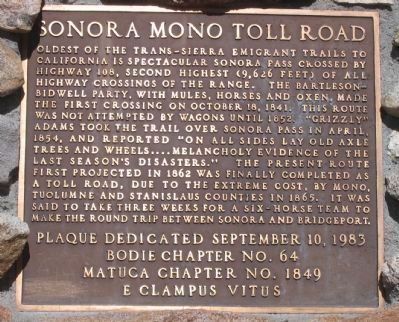
1. Sonora MonoToll Road Marker
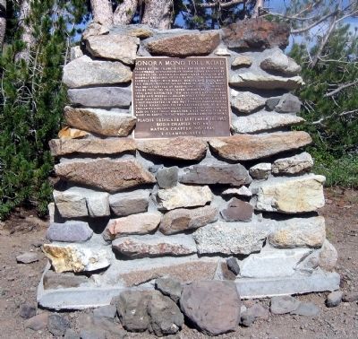
Oldest of the Trans-Sierra Emigrant Trails to California is spectacular Sonora Pass crossed by Highway 108, second highest (9,626 feet) of all the highway crossings of the range. The Bartleson-Bidwell Party, with mules, horses and oxen, made the first crossing on October 18, 1841. This route was not attempted by wagons until 1852. “Grizzly” Adams took the trail over Sonora Pass in April, 1854, and reported “on all sides lay old axel trees and wheels ….melancholy evidence of the last season’s disasters.” The present route first projected in 1862 was finally completed as a toll road, due to the extreme cost, by Mono, Tuolumne and Stanislaus Counties in 1865. It was said to take three weeks for a six-horse team to make the round trip between Sonora and Bridgeport.
Erected 1983 by Bodie Chapter No.64, Matuca Chapter No.1849, E Clampus Vitus, September 10, 1983.
Topics and series. This historical marker is listed in these topic lists: Exploration • Notable Places • Roads & Vehicles • Settlements & Settlers. In addition, it is included in the E Clampus Vitus series list. A significant historical month for this entry is April 1854.
Location. 38° 19.722′ N,
this page online

Regionally, this marker is in the Sierra Nevada. It is also in the American Mountain West. Globally, it is in North America, on the Ring of Fire, on the Pacific Rim, in the Western Hemisphere, in the Western World, and in the Anglosphere. Historically, it finds itself in what was once New Spain and also Mexico’s Alta California.
Other nearby markers. At least 8 other markers are within 14 miles of this marker, measured as the crow flies: Sonora Pass (here, next to this marker); Following in their Footsteps - East Flange Rock (approx. 5.3 miles away); The Emigrants of 1852-1853 (approx. 6 miles away); Jewels of the High Country (approx. 6
Photographed by Syd Whittle, August 23, 2006
2. Sonora MonoToll Road Marker
Another marker is no longer nearby. Kennedy Meadows (was approx. 6 miles away but has been reported to have been replaced with another marker now near it).
More about this marker. This marker may only be seen during the late Spring, Summer or early Fall, as the highway is closed during the winter.
Also see . . . Sonora Pass-Mono Road (No. 422 California Historical Landmark). National Geographic "Sierra Nevada Tourism" entry (Submitted on January 2, 2021, by Larry Gertner of New York, New York.)
Photographed by Syd Whittle, August 23, 2006
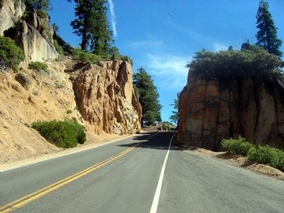
3. A Section of the Current Alignment of the Sonora-Mono Road (Sonora Pass)
Photographed by Syd Whittle, August 23, 2006
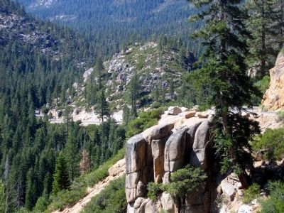
4. A Section of the Current Alignment of Sonora MonoToll Road (Sonora Pass)
Credits. This page was last revised on March 13, 2021. It was originally submitted on September 26, 2008, by Syd Whittle of Mesa, Arizona. This page has been viewed 3,224 times since then and 148 times this year. Last updated on July 30, 2012, by Michael Kindig of Elk Grove, California. Photos: 1, 2, 3, 4. submitted on September 26, 2008, by Syd Whittle of Mesa, Arizona.
