Churchville in Monroe County, New York — The American Northeast (Mid-Atlantic)
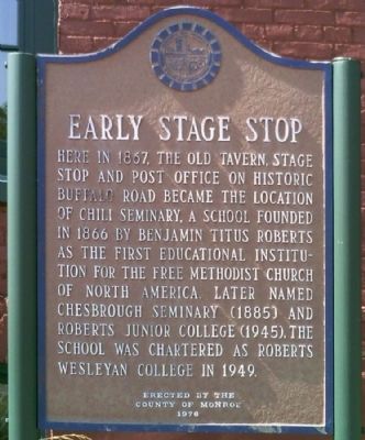
Early Stage Stop
Erected 1976 by County of Monroe.
Topics. This historical marker is listed in these topic lists: Churches & Religion • Education • Roads & Vehicles • Settlements & Settlers. A significant historical year for this entry is 1867.
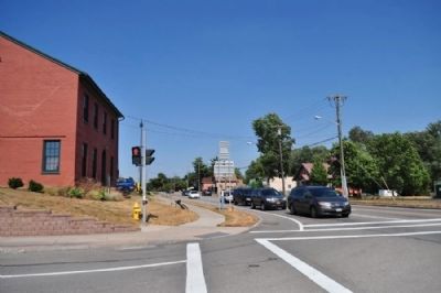
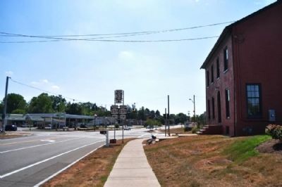
Location. 43° 7.204′ N, 77° 48.31′ W. Marker is in Churchville, New York, in Monroe County. Marker is at the intersection of Buffalo Road (New York State Route 33) and Union Street (New York State Route 259), on the right when traveling west on Buffalo Road. Touch for map. Marker is in this post office area: Churchville NY 14428, United States of America. Touch for directions.
Other nearby markers. At least 8 other markers are within 5 miles of this marker, measured as the crow flies. B.T. Roberts (approx. 0.4 miles away); Chili Landmark (approx. 2.2 miles away); Harris Seed Farm (approx. 3 miles away); Indian Hill (approx. 4 miles away); Riga (approx. 4.1 miles away); Mill Site (approx. 4.1 miles away); Francis E. Willard (approx. 4.2 miles away); In Memoriam (approx. 4.2 miles away). Touch for a list and map of all markers in Churchville.
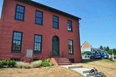
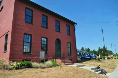
Regarding Early Stage Stop. This building was the subject of much controversy a few years ago. In one of the attached photos, you can see the Walgreens that was built just behind here. Walgreens had plans to demolish to building for parking space. After much debate and protest, the building was saved, and by all accounts, the Walgreens has plenty of parking. Before the controversy, the building wasn't cared for very well. It had been added to and then additions removed, and evidence was quite visible on the exterior.
Credits. This page was last revised on June 16, 2016. It was originally submitted on August 2, 2012, by Yugoboy of Rochester, New York. This page has been viewed 416 times since then and 26 times this year. Photos: 1, 2, 3, 4, 5. submitted on August 2, 2012, by Yugoboy of Rochester, New York. • Bill Pfingsten was the editor who published this page.
