Ford Birthsite in Omaha in Douglas County, Nebraska — The American Midwest (Upper Plains)
The City of Omaha, Nebraska
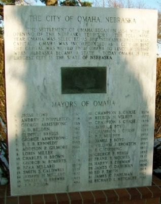
Photographed by William Fischer, Jr., February 16, 2012
1. The City of Omaha, Nebraska Marker
Mayors of Omaha
[not transcribed]
Topics. This historical marker is listed in these topic lists: Government & Politics • Settlements & Settlers. A significant historical year for this entry is 1854.
Location. 41° 14.722′ N, 95° 57.638′ W. Marker is in Omaha, Nebraska, in Douglas County. It is in Ford Birthsite. It is on Woolworth Avenue near 32nd Street, on the left when traveling east. Markers are on the grounds of the Gerald Ford Birthsite and Gardens. Touch for map. Marker is at or near this postal address: 3202 Woolworth Avenue, Omaha NE 68105, United States of America. Touch for directions.

Regionally, this marker is in Eastern Nebraska. It is also in the American Midwest, in the Lewis & Clark Corridor, in the Corn Belt, and on the prairies. Globally, it is in North America,
this page online
Other nearby markers. At least 8 other markers are within one mile of this marker, measured as the crow flies: President Gerald R. Ford (a few steps from this marker); Territory and State of Nebraska (a few steps from this marker); First Lady Betty Ford (within shouting distance of this marker); Birthsite of Gerald R. Ford (within shouting distance of this marker); Hanscom Park Flower Garden (about 600 feet away, measured in a direct line); Hanscom Park Lagoon (approx. ¼ mile away); Kountze Memorial Lutheran Church (approx. one mile away); Poynter Hall (approx. 1.1 miles away). Touch for a list and map of all markers in Omaha.
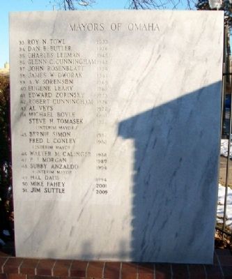
Photographed by William Fischer, Jr., February 16, 2012
2. The City of Omaha, Nebraska Marker
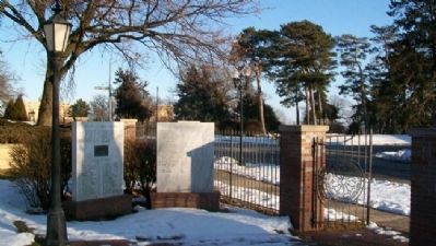
Photographed by William Fischer, Jr., February 16, 2012
3. The City of Omaha, Nebraska Markers
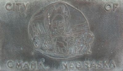
Photographed by William Fischer, Jr., February 16, 2012
4. The City of Omaha NE Artwork on Marker
Credits. This page was last revised on February 16, 2023. It was originally submitted on August 2, 2012, by William Fischer, Jr. of Reynoldsburg, Ohio. This page has been viewed 859 times since then and 33 times this year. Photos: 1, 2, 3, 4. submitted on August 2, 2012, by William Fischer, Jr. of Reynoldsburg, Ohio.
