Greeneville in Greene County, Tennessee — The American South (East South Central)
Andrew Johnson National Historic Site
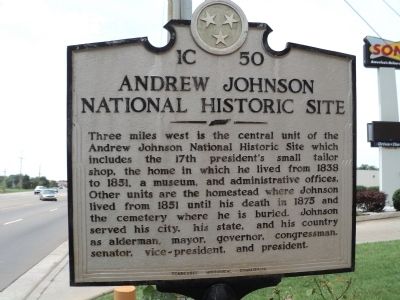
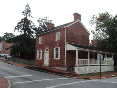
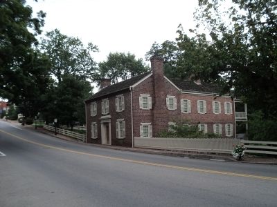
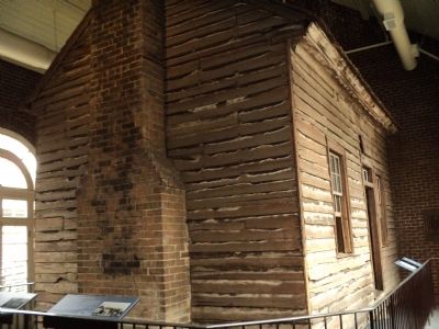
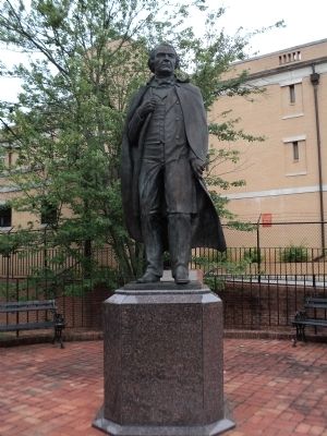
Three miles west is the central unit of the Andrew Johnson National Historic Site which includes the 17th president’s small tailor shop, the home in which he lived from 1838 to 1851, a museum, and administrative offices. Other units are the homestead where Johnson lived from 1851 until his death in 1875 and the cemetery where he is buried. Johnson served his city, his state, and his country as alderman, mayor, governor, congressman, senator, vice-president, and president.
Erected by Tennessee Historical Commission. (Marker Number 1C 50.)
Topics and series. This historical marker is listed in this topic list: Government & Politics. In addition, it is included in the Former U.S. Presidents: #17 Andrew Johnson, and the Tennessee Historical Commission series lists. A significant historical year for this entry is 1838.
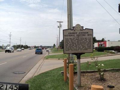
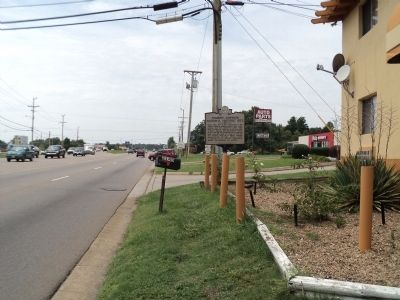
Location. 36° 10.691′ N, 82° 47.131′ W. Marker is in Greeneville, Tennessee, in Greene County. Marker is on Andrew Johnson Highway (U.S. 321), on the right when traveling east. Marker is located in front of the Andrew Johnson Inn. Touch for map. Marker is at or near this postal address: 2145 East Andrew Johnson Highway, Greeneville TN 37743, United States of America. Touch for directions.
Other nearby markers. At least 8 other markers are within 3 miles of this marker, measured as the crow flies. Samuel Doak House (approx. 1.2 miles away); Tusculum College (approx. 1.3 miles away); a different marker also named Tusculum College (approx. 1.4 miles away); John Gloucester (approx. 1.4 miles away); First Institution of Higher Learning West of the Allegheny Mountains (approx. 1.4 miles away); Virginia Hall 1901 (approx. 1.4 miles away); The Band Perry (approx. 2.3 miles away); Harmony House (approx. 2˝ miles away). Touch for a list and map of all markers in Greeneville.
Also see . . . Andrew Johnson National Historic Site. National Park Service website. (Submitted on August 7, 2012, by Bill Coughlin of Woodland Park, New Jersey.)
Photographed By Bill Coughlin, August 4, 2012
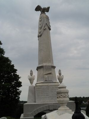
7. Grave of Andrew Johnson
Andrew Johnson and his wife Eliza are buried in the Andrew Johnson National Cemetery, located about ½ mile south of his homestead. The marble marker contains an image of the Constitution, a copy of which was buried with Johnson.
Credits. This page was last revised on September 21, 2020. It was originally submitted on August 7, 2012, by Bill Coughlin of Woodland Park, New Jersey. This page has been viewed 623 times since then and 20 times this year. Photos: 1, 2, 3, 4, 5, 6, 7, 8. submitted on August 7, 2012, by Bill Coughlin of Woodland Park, New Jersey.
