Near Swainsboro in Emanuel County, Georgia — The American South (South Atlantic)
Old Savannah Road
<------->
Erected 1956 by Georgia Historical Commission. (Marker Number 053-7.)
Topics and series. This historical marker is listed in this topic list: Roads & Vehicles. In addition, it is included in the Georgia Historical Society series list. A significant historical year for this entry is 1739.
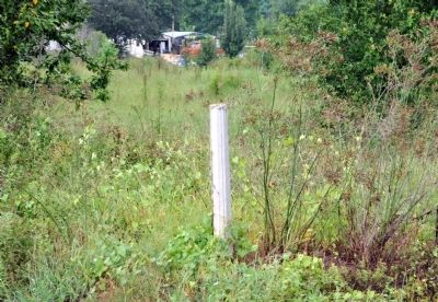
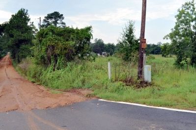
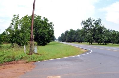
Location. Marker has been reported missing. It was located near 32° 47.05′ N, 82° 14.7′ W. Marker was near Swainsboro, Georgia, in Emanuel County. Marker was at the intersection of Covena Road (Georgia Route 56) and Old Savannah Road (County Route 449), on the left when traveling north on Covena Road. Touch for map. Marker was in this post office area: Swainsboro GA 30401, United States of America. Touch for directions.
Other nearby markers. At least 8 other markers are within 10 miles of this location, measured as the crow flies. Pine Barren Crossroads (within shouting distance of this marker); Sherman at Midville (approx. 2½ miles away); Summerville (approx. 3.2 miles away); The Savannah Road (approx. 5.2 miles away); Sherman at the Jones Plantation (approx. 6.7 miles away); Bark Camp Church (approx. 7.2 miles away); a different marker also named Bark Camp Church (approx. 7.3 miles away); Old Town Plantation (approx. 9.7 miles away).
More about this marker. The text for the missing marker was taken from "Georgia Historical Markers" (Bay Tree Grove, Second Edition 1978) compiled by Carroll P. Scruggs from the records of the Georgia Historical Commission.
Credits. This page was last revised on June 16, 2016. It was originally submitted on August 8, 2012, by David Seibert of Sandy Springs, Georgia. This page has been viewed 536 times since then and 8 times this year. Photos: 1, 2, 3. submitted on August 8, 2012, by David Seibert of Sandy Springs, Georgia. • Craig Swain was the editor who published this page.
Editor’s want-list for this marker. Photo of marker prior to its disappearance. • Can you help?


