Watervliet in Albany County, New York — The American Northeast (Mid-Atlantic)
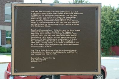
City of Watervliet
Prominent features of early Watervliet were the Steen Hoeck or Stone Point nearby on the bank of the Hudson, a beginning point for early land surveys, river ferries from 1710 and on 14th, 15th and 16th Streets which carried Revolutionary War Soldiers on their way to the battle of Saratoga, the Watervliet Arsenal established in 1813, the Erie Canal running the length of the City completed in 1825, and a foundry nearby to the north established in 1808 by Julius Hanks and later operated by Andrew Meneely for the manufacture of bells.
The City of Watervliet embracing the earlier settlements of Port Schuyler, Washington, Gibbonsville and West Troy was incorporated May 26, 1896.
Compiled and Researched by
M. E. Gilchrist and
Sandra Tabor
1981
Erected 1981.
Topics. This historical marker is listed in these topic lists: Colonial Era • Industry & Commerce • Settlements & Settlers. A significant historical date for this entry is May 26, 1848.
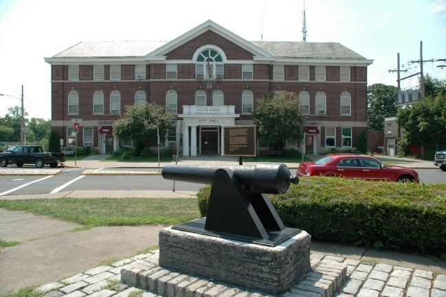
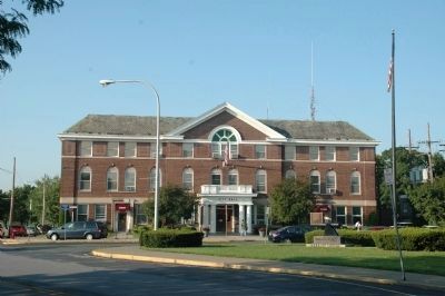
Location. 42° 43.552′ N, 73° 42.01′ W. Marker is in Watervliet, New York, in Albany County. Marker is at the intersection of Broadway and 15th Street, on the right when traveling south on Broadway. The marker is next to the Civil War Cannon, which is across 15th Street from Watervliet City Hall. Touch for map. Marker is in this post office area: Watervliet NY 12189, United States of America. Touch for directions.
Other nearby markers. At least 8 other markers are within walking distance of this marker. Civil War Parrott Rifle (here, next to this marker); Meneely Bell Foundry (within shouting distance of this marker); Meneely Foundry (within shouting distance of this marker); Saint Patrick's Church Bell (within shouting distance of this marker); North Dutch Reformed Church Bell (within shouting distance of this marker); The Nalle Rescue (about 800 feet away, measured in a direct line); In Memory of Those Who Served (about 800 feet away); U.S. Army 3 Inch M5 Antitank Gun (approx. 0.2 miles away). Touch for a list and map of all markers in Watervliet.
Credits. This page was last revised on June 16, 2016. It was originally submitted on August 9, 2012, by Howard C. Ohlhous of Duanesburg, New York. This page has been viewed 735 times since then and 17 times this year. Photos: 1, 2. submitted on August 9, 2012, by Howard C. Ohlhous of Duanesburg, New York. 3. submitted on August 19, 2012, by Howard C. Ohlhous of Duanesburg, New York. • Bill Pfingsten was the editor who published this page.


