Andrus Mill Pond
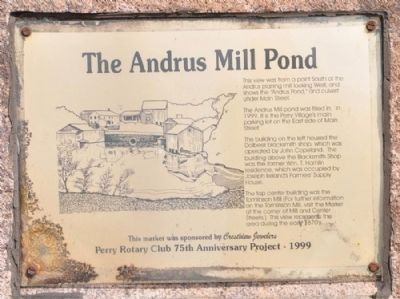
The Andrus Mill pond was filled in. In 1999, it is the Perry Village's main parking lot on the East side of Main Street.
The building on the left housed the Dolbeer blacksmith shop, which was operated by John Copeland. The building above the Blacksmith Shop was the former Wm. T. Hamlin residence, which was occupied by Joseph Ireland's Farmers' Supply House.
The top center building was the Tomlinson Mill (For further information on the Tomlinson Mill, visit the Marker at the corner of Mill and Center Streets.) This view represents the area during the early 1870s.
This marker was sponsored by Crestview Jewelers
Erected 1999 by Perry Rotary Club 75th Anniversary Project.
Topics and series. This historical marker is listed in these topic lists: Industry & Commerce • Man-Made Features. In addition, it is included in the Rotary International series list. A significant historical year for this entry is 1999.
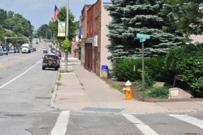
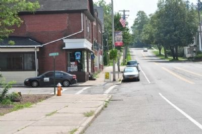
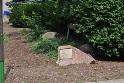
Location. 42° 43.012′ N, 78° 0.225′ W. Marker is in Perry, New York, in Wyoming County. Marker is at the intersection of Main Street (New York State Route 39) and Dolbeer Street, on the right when traveling
Other nearby markers. At least 8 other markers are within one mile of this marker, measured as the crow flies. Historic Water Trough (about 400 feet away, measured in a direct line); Silver Lake Mills of Perry (about 500 feet away); Richmond-Andrus Mill Site (about 500 feet away); Robeson Cutlery Company (approx. 0.2 miles away); Wycoff Harvester Company (approx. 0.2 miles away); First United Methodist Church (approx. 0.2 miles away); Old Burying Ground (approx. 0.3 miles away); Pioneer Cabin (approx. 1.1 miles away). Touch for a list and map of all markers in Perry.
Credits. This page was last revised on June 16, 2016. It was originally submitted on August 10, 2012, by Yugoboy of Rochester, New York. This page has been viewed 491 times since then and 20 times this year. Photos: 1, 2, 3, 4. submitted on August 10, 2012, by Yugoboy of Rochester, New York. • Bill Pfingsten was the editor who published this page.


