South Royalton in Windsor County, Vermont — The American Northeast (New England)
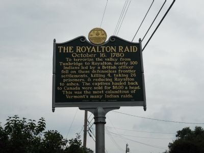
The Royalton Raid
October 16, 1780
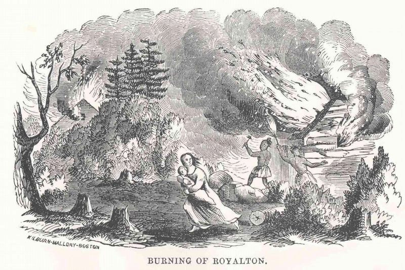
To terrorize the valley from Tunbridge to Royalton, nearly 300 Indians led by a British officer fell on these defenseless frontier settlements, killing 4, taking 26 prisoners, & reducing Royalton to ashes. The captives hauled back to Canada were sold for $8.00 a head. This was the most calamitous of Vermont's many Indian raids.
Erected 1958 by Vermont Historic Sites Commission.
Topics. This historical marker is listed in this topic list: War, US Revolutionary.
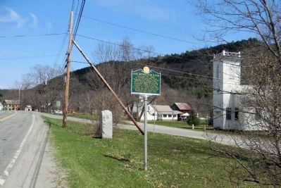
Location. 43° 48.935′ N, 72° 32.799′ W. Marker is in Royalton, Vermont, in Windsor County. It is in South Royalton. Marker is at the intersection of Vermont Route 14 and Bridge Street, on the right when traveling east on State Route 14. Touch for map. Marker is in this post office area: South Royalton VT 05068, United States of America. Touch for directions.
Other nearby markers. At least 8 other markers are within 5 miles of this marker, measured as the crow flies. Burning of Royalton (a few steps from this marker); Stone Turnpike Marker (a few steps from this marker); Jessie LaFountain Bigwood (approx. 1.4 miles away); Joseph Smith Monument (approx. 2 miles away); Wagon Wheels Farm (approx. 2.2 miles away); Site of 1780 Raid (approx. 3.3 miles away); Eighteen Hundred And Froze To Death / United Church Of Bethel (approx. 4.6 miles away); Carlton Clark Memorial Bridge (approx. 4.9 miles away). Touch for a list and map of all markers in Royalton.
Also see . . .
1. The Royalton Raid. Wikipedia entry (Submitted on August 15, 2012, by Bill Pfingsten of Bel Air, Maryland.)
2. The Royalton Raid. Revolutionary War and Beyond website entry (Submitted on August 9, 2023, by Larry Gertner of New York, New York.)
Credits. This page was last revised on August 9, 2023. It was originally submitted on August 10, 2012, by John Edwards of Orlando, Florida. This page has been viewed 861 times since then and 35 times this year. Photos: 1. submitted on August 10, 2012, by John Edwards of Orlando, Florida. 2. submitted on August 9, 2023, by Larry Gertner of New York, New York. 3. submitted on April 28, 2013, by PaulwC3 of Northern, Virginia. • Bill Pfingsten was the editor who published this page.


