Fort George Island in Duval County, Florida — The American South (South Atlantic)
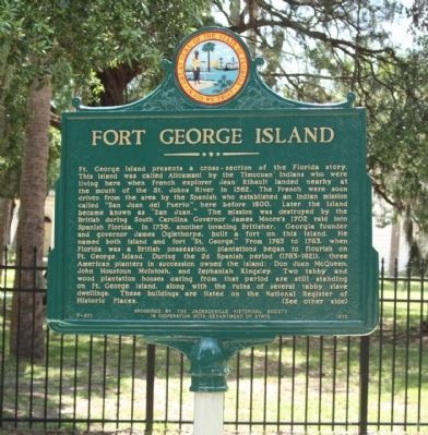
Fort George Island
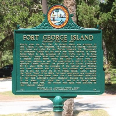
Reverse:
Shortly after the Civil War, Ft. George Island was acquired by John F. Rollins of New Hampshire. He remodeled the Kingsley Plantation main house and called his new Florida residence the "Homestead." As postmaster, Rollins had the area's post office removed to nearby Batten Island to take advantage of river traffic on the St. Johns. Although Ft. George Island could be reached only by boat, it became a popular tourist resort during the 1880's. There were new year-round residents as well. The construction in 1881 of St. George's Episcopal church signified the growth of the island's population. But by about 1890, the extension of the railroad along Florida's east coast combined with a yellow fever epidemic and destructive fire to end the tourist era on Ft. George Island. Later, during the Florida "Boom" of the 1920's, the island experienced new prosperity. Two fashionable clubs opened there, and a road - Hecksher Drive - built by New York millionaire August Hecksher brought the automobile to the island. After World War II, part of Ft. George Island became a state park, and tourists once again were attracted to this historic island.
Erected 1976 by The Jacksonville Historical Society in Cooperation with Department of State. (Marker Number F-271.)
Topics. This historical marker is listed in this topic list: Notable Places. A significant historical year for this entry is 1562.
Location. 30° 25.678′ N, 81° 25.521′ W. Marker is on Fort George Island, Florida, in Duval County. Marker is on Fort George Road, on the right when traveling north. Located at the State Cultural Site and and Ribault Club. Touch for map. Marker is in this post office area: Jacksonville FL 32226, United States of America. Touch for directions.
Other nearby markers. At least 8 other markers are within walking distance of this marker. Site of the Mission of San Juan del Puerto (a few steps from this marker); Ribault Club Inn (within shouting distance of this marker); Slave Cabins (approx. one mile away); a different marker also named Slave Cabins (approx. one mile away); a different marker also named Slave Cabins (approx. one mile away); a different marker also named Slave Cabins (approx. one mile away); a different marker also named Slave Cabins (approx. one mile away); a different marker also named Slave Cabins (approx. one mile away). Touch for a list and map of all markers in Fort George Island.
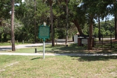
Photographed By Mike Stroud, July 10, 2012
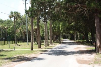
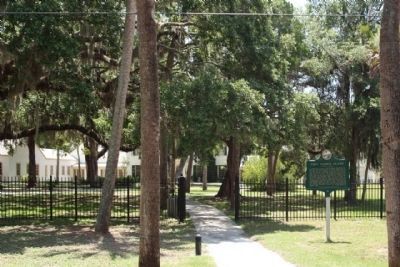
5. Fort George Island Marker near the north end of Fort George Road
Fort George Island Cultural State Park -
Native Americans feasted here, colonists built a fort, and the Smart Set of the 1920s came for vacations. A site of human occupation for over 5,000 years, Fort George Island was named for a 1736 fort built to defend the southern flank of Georgia when it was a colony. Today´s visitors come for boating, fishing, off-road bicycling, and hiking. A key attraction is the restored Ribault Club. Once an exclusive resort, it is now a visitor center with meeting space available for special functions. Behind the club, small boats, canoes, and kayaks can be launched on the tidal waters.
Credits. This page was last revised on March 21, 2023. It was originally submitted on August 13, 2012, by Mike Stroud of Bluffton, South Carolina. This page has been viewed 986 times since then and 32 times this year. Photos: 1, 2, 3, 4, 5. submitted on August 13, 2012, by Mike Stroud of Bluffton, South Carolina.
