Southbelt / Ellington in Houston in Harris County, Texas — The American South (West South Central)
Ellington Field
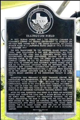
The site transferred to the National Guard during the 1920s, and following a fire and demolition, all that remained by the 1930s was a concrete water tank. The government retained ownership, leasing the site for grazing cattle. By the 1940s, the threat of another world conflict caused the U.S. to reactivate the base. Ellington was vital to American war planning during World War II due to its strategic location near oil refineries and the Houston Ship Channel. Construction began in 1940, and among the first improvements was a service apron believed to be the largest concrete slab in the world at the time. Troops began arriving at the modernized facility in April 1941.
Ellington was primarily a pilot training center, but navigators and bombardiers, as well as aviators from other countries, also trained here. Because the field was operational prior to the attack on Pearl Harbor, December 7, 1941, one of every ten Army pilots went through its flying school in the first two years of the war. Later, the Army Air Force ran an advanced navigator training school here.
After the war, Ellington was home to a Texas Air National Guard unit. During the Cold War, it again became an active Air Force base, primarily for navigator training. The Air Force abandoned the base in 1976, and the site has since been shared by the Texas Air National Guard, the National Aeronautics and Space Administration, the Texas Army Guard, the U.S. Coast Guard, and the City of Houston, which, since 1984, has used much of it for a municipal airport.
Erected 2006 by Texas Historical Commission. (Marker Number 13820.)
Topics. This historical marker is listed in these topic lists: Air & Space • War, World I • War, World II. A significant historical month for this entry is April 1941.
Location. 29° 36.164′ N, 95° 10.468′ W. Marker is in Houston, Texas, in Harris County. It is in Southbelt / Ellington. Marker is at the intersection of Aerospace Avenue and Challenger, on the right when traveling north on Aerospace Avenue. Located next to the large airplane display just inside the main gate of Ellington Field. Touch for map. Marker is in this post office area: Houston TX 77034, United States of America. Touch for directions.
Other nearby markers. At least 8 other markers are within 6 miles of this marker, measured as the crow flies. Genoa United Methodist Church (approx. 2.2 miles away); First United Methodist Church of Pasadena (approx. 3˝ miles away); Gateway to William States Jacobs Ranch (approx. 4.8 miles away); First Home and First Family (approx. 5.1 miles away); Fig Preserving Plant (approx. 5.3 miles away); Cecil and Frances Brown House (approx. 5.3 miles away); First Business (approx. 5.3 miles away); Friendswood Postal Service (approx. 5.3 miles away).
Also see . . .
1. Ellington International Airport (Texas). Wikipedia (Submitted on August 16, 2012, by Jim Evans of Houston, Texas.)
2. Wings Over Houston Airshow. This annual airshow has been held at Ellington Field for many years. It is a terrific display and people come from all over to see it. (Submitted on August 16, 2012, by Jim Evans of Houston, Texas.)

Photographed By Jim Evans, August 16, 2012
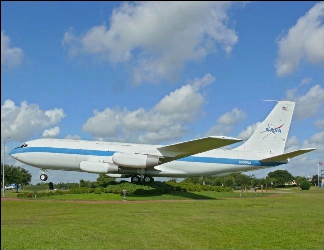
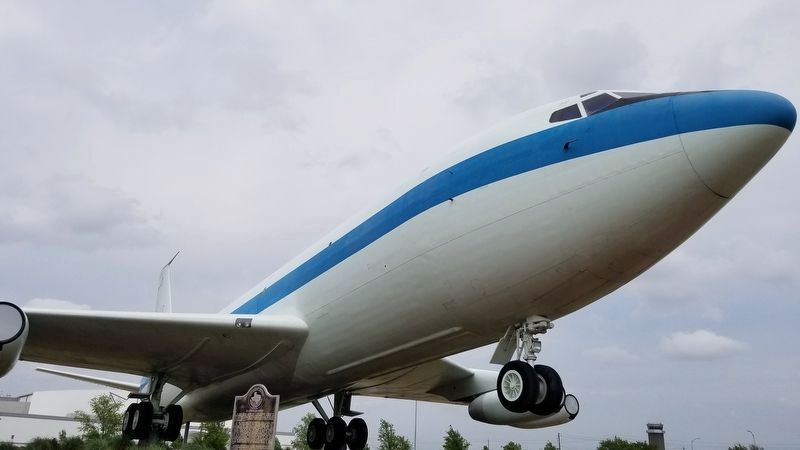
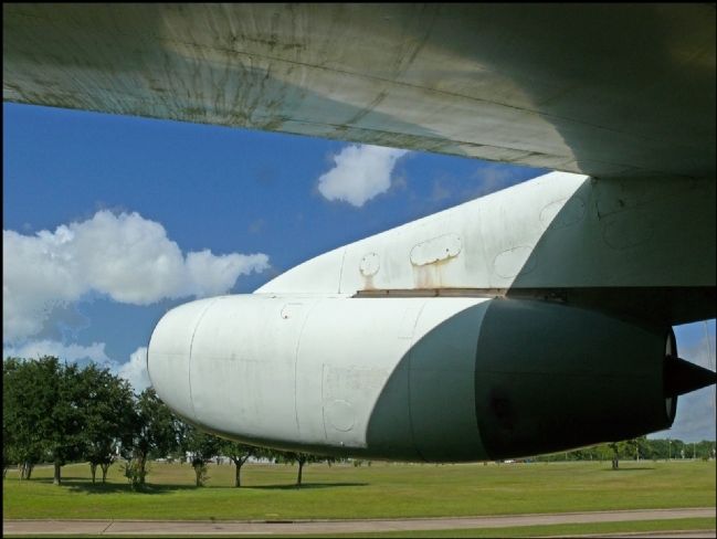
3. A KC-135 once used as the Zero-G Trainer for Astronauts
Sometimes called "The Weightless Wonder," more often called the "Vomit Comet" this is NASA's KC-135A aircraft, which was used to train astronauts and test equipment for spaceflight. The aircraft, nicknamed "the Vomit Comet," flew specific flight paths to mimic various states of microgravity.
The KC-135A could fly a series of large parabolic arcs, allowing passengers to experience about 25 seconds of microgravity at the top. Elsewhere along the flight, the aircraft could give the sensation of approximately two times the force of gravity on Earth.
The marker is on the other side of the display. If you look carefully you can see the back of the marker below the nose wheels.
Credits. This page was last revised on February 1, 2023. It was originally submitted on August 16, 2012, by Jim Evans of Houston, Texas. This page has been viewed 1,036 times since then and 37 times this year. Photos: 1. submitted on August 16, 2012, by Jim Evans of Houston, Texas. 2. submitted on September 18, 2020, by James Hulse of Medina, Texas. 3, 4. submitted on August 16, 2012, by Jim Evans of Houston, Texas. • Bernard Fisher was the editor who published this page.


