Franklin Springs in Franklin County, Georgia — The American South (South Atlantic)
The Franklin Springs
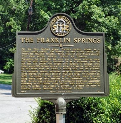
For the first hundred years, Franklin Springs existed as a famous health resort. The Springs, as well as the County, was named for Benjamin Franklin. Three types of water flowed strongly from these springs, mineral, sulphur and freestone.
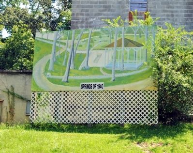
Preceding the Civil War the area was famous watering place. Into the 20th century it continued to be a gathering place for the sick and invalid who sought cure through its mineral water. Later, social life became more of an attraction than its healing waters. By 1917 there were two hotels, a skating rink, and two pavilions.
The nationally famous Methodist evangelist Lorenzo Dow spoke to large crowds under these trees in 1802 and 1803. On February 22, 1803, the subject of his sermon was The Trinity where he spoke using three large tree branches as an illustration. On March 1, 1918, the site was purchased by the Pentecostal Benevolent Association consisting of G.O. Gaines, Perry Sexton, Hugh Bowling, Josiah Allen, John W. Jordan and Joseph C. Sorrow. It became the home of Franklin Springs Institute, now Emmanuel College.
Erected 1981 by Georgia Department of Natural Resources. (Marker Number 059-9.)
Topics and series. This historical marker is listed in this topic list: Notable Places . In addition, it is included in the Georgia Historical Society series list. A significant historical month for this entry is February 1852.
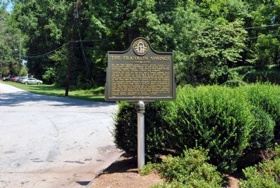
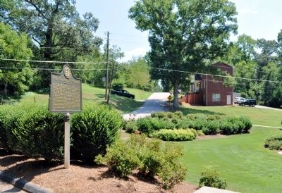
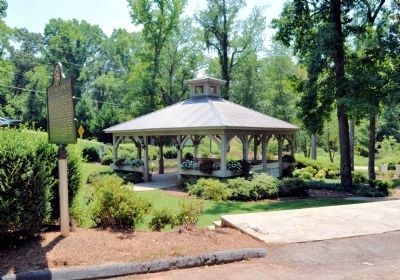
Location. 34° 16.85′ N, 83° 8.776′ W. Marker is in Franklin Springs, Georgia, in Franklin County. Marker is at the intersection of Spring Street and Old Springs Street, on the right when traveling south on Spring Street. The marker now stands by the original Franklin Springs, on the campus of Emmanuel College. Touch for map. Marker is in this post office area: Franklin Springs GA 30639, United States of America. Touch for directions.
Other nearby markers. At least 8 other markers are within 4 miles of this marker, measured as the crow flies. Historical Franklin Springs (about 300 feet away, measured in a direct line); Original Site and Portions (about 600 feet away); a different marker also named Historical Franklin Springs (approx. 0.2 miles away); Ty Cobb (approx. 1˝ miles away); Tyrus Raymond Cobb (approx. 1˝ miles away); Royston, GA / U.S. Bicentennial Monument (approx. 1˝ miles away); Dr. Stewart D. Brown, Sr. (approx. 2 miles away); Poplar Springs Methodist Camp Ground (approx. 3.9 miles away). Touch for a list and map of all markers in Franklin Springs.
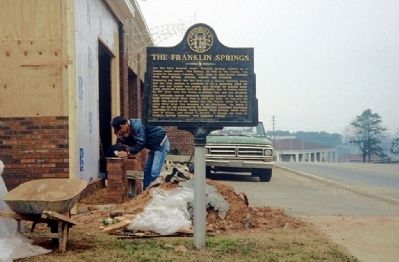
More about this marker. The marker originally stood at the Franklin Springs City Hall and Fire Department building on US Highway 29, which was destroyed in a tornado September 14, 2004. The marker remained standing in front of the trailer which was the temporary city hall, but was eventually relocated to this location.
Credits. This page was last revised on June 26, 2020. It was originally submitted on August 17, 2012, by David Seibert of Sandy Springs, Georgia. This page has been viewed 631 times since then and 40 times this year. Photos: 1, 2, 3, 4, 5, 6. submitted on August 17, 2012, by David Seibert of Sandy Springs, Georgia. • Craig Swain was the editor who published this page.
