Brule in Douglas County, Wisconsin — The American Midwest (Great Lakes)
Daniel Greysolon Sieur Dulhut
Photographed by Paul Fehrenbach, August 14, 2012
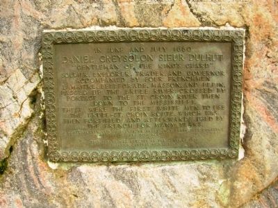
1. Daniel Greysolon Sieur Dulhut Marker
Daniel Greysolon Sieur Dulhut
“Gentleman of the King’s Guard”
Soldier, Explorer, Trader, and Governor
accompanied by four Frenchmen
LaMaitre, Bellegrade, Masson, and Pepin,
passed up the Brule River, crossed by
portage to the St. Croix River then
down to the Mississippi.
These were the first white men to use
the Brule-St. Croix route, which was
then fortified and afterward used by
the French for many years.
A contemporary said of Dulhut, “He feared not death,
only cowardice and dishonor.”
Erected 1930 by Class of 1930 Superior Central High School.
Topics. This historical marker is listed in this topic list: Exploration. A significant historical month for this entry is July 1680.
Location. 46° 33.018′ N, 91° 35.237′ W. Marker is in Brule, Wisconsin, in Douglas County. It can be reached from the intersection of U.S. 2 and Ranger Road, on the left when traveling west. Marker is located in the Brule River Rest Area on U.S. Hwy 2. Touch for map. Marker is in this post office area: Brule WI 54820, United States of America. Touch for directions.

Regionally, this marker
this page online
Other nearby markers. At least 4 other markers are within 15 miles of this marker, measured as the crow flies: Brule River (about 300 feet away, measured in a direct line); Evergreen Park Cottage Sanatorium (approx. 5.9 miles away); Brule-St. Croix Portage (approx. 14.7 miles away); The Brule St. Croix Portage (approx. 14.8 miles away).
Photographed by Paul Fehrenbach, August 14, 2012
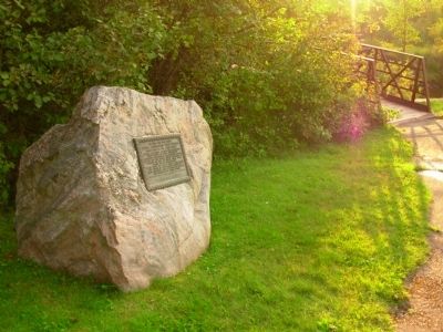
2. Daniel Greysolon Sieur Dulhut Marker
Looking west toward river.
Photographed by Paul Fehrenbach, August 14, 2012
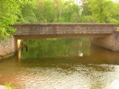
3. Brule River
foot bridge over the Brule River just a few steps from the marker.
Credits. This page was last revised on June 16, 2016. It was originally submitted on August 17, 2012, by Paul Fehrenbach of Richfield, Wisconsin. This page has been viewed 761 times since then and 32 times this year. Photos: 1, 2, 3. submitted on August 17, 2012, by Paul Fehrenbach of Richfield, Wisconsin. • Bernard Fisher was the editor who published this page.
