Lower Windsor Township in Long Level in York County, Pennsylvania — The American Northeast (Mid-Atlantic)
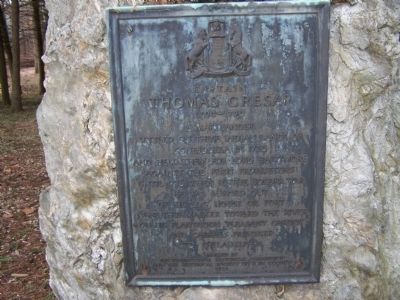
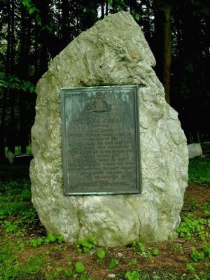
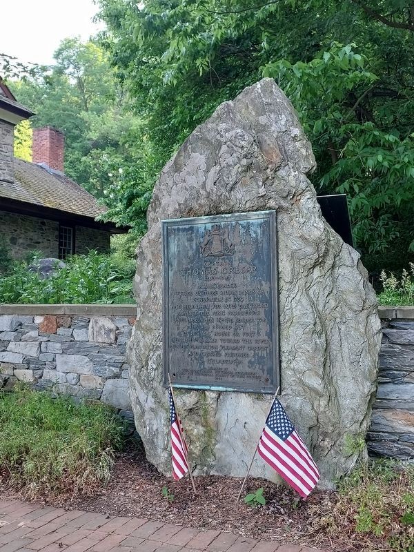
Captain Thomas Cresap
A Marylander
Settled on these Indian lands of
Conejohela in 1730
and held them for Lord Baltimore
against the Penn Proprietors
until 1736, when in the border war
he was burned out
of this log house or fort
near this marker toward the river
on his plantation "Pleasant Garden"
and carried prisoner
to Philadelphia
Erected 1924 by The Pennsylvania Historical Commission and the Historical Society of York County.
Topics and series. This historical marker is listed in these topic lists: Colonial Era • Forts and Castles • Settlements & Settlers. In addition, it is included in the Pennsylvania Historical and Museum Commission series list. A significant historical year for this entry is 1703.
Location. 39° 58.669′ N, 76° 29.789′ W. Marker is in Long Level, Pennsylvania, in York County. It is in Lower Windsor Township. Marker is on Long Level Road (Pennsylvania Route 624), on the left when traveling north. Touch for map. Marker is at or near this postal address: 1706 Long Level Road, Wrightsville PA 17368, United States of America. Touch for directions.
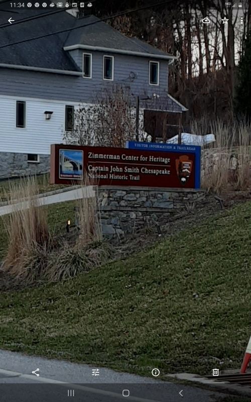
Other nearby markers. At least 8 other markers are within walking distance of this marker. Thomas Cresap and the Border War (a few steps from this marker); The Dritt Mansion: A Home at the Center of History (a few steps from this marker); The John & Kathryn Zimmerman Center for Heritage (within shouting distance of this marker); Native Lands Trailhead (within shouting distance of this marker); Gateway to the Bay (within shouting distance of this marker); Latrobe's Survey of the Susquehanna (within shouting distance of this marker); Cresap's Fort (approx. 0.3 miles away); Susquehanna and Tidewater Canal (approx. 0.9 miles away). Touch for a list and map of all markers in Long Level.
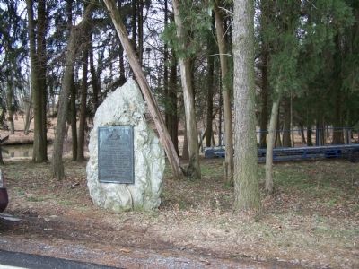
More about this marker. The marker was moved from the location it was previously in (as shown in the 2008 & 2011 images.) It is currently located in the gardens at The Zimmerman Center, facing Long Level Road.
Also see . . . Biography of Thomas Cresap. (Submitted on March 1, 2008, by Bill Pfingsten of Bel Air, Maryland.)
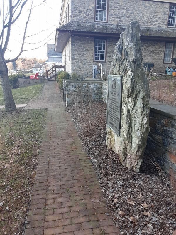
Photographed By Carl Gordon Moore Jr., March 21, 2021
6. Captain Thomas Cresap Marker
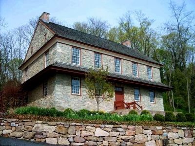
Looking south to Dritt Mansion, 1706 Long Level Road, which is slightly north of the location this marker was reported missing from, which is Long Level Road at Bank Hill Road, on left when traveling north on Long Level Road.
Credits. This page was last revised on June 17, 2023. It was originally submitted on March 1, 2008. This page has been viewed 1,913 times since then and 35 times this year. Last updated on June 17, 2023, by Annette Fillmore of York, Pennsylvania. Photos: 1. submitted on March 1, 2008, by Bill Pfingsten of Bel Air, Maryland. 2. submitted on July 25, 2011, by Allen C. Browne of Silver Spring, Maryland. 3. submitted on June 17, 2023, by Annette Fillmore of York, Pennsylvania. 4. submitted on March 1, 2008, by Bill Pfingsten of Bel Air, Maryland. 5. submitted on February 25, 2010, by Dianne Bowders of York, PA. 6, 7. submitted on March 21, 2021, by Carl Gordon Moore Jr. of North East, Maryland.
